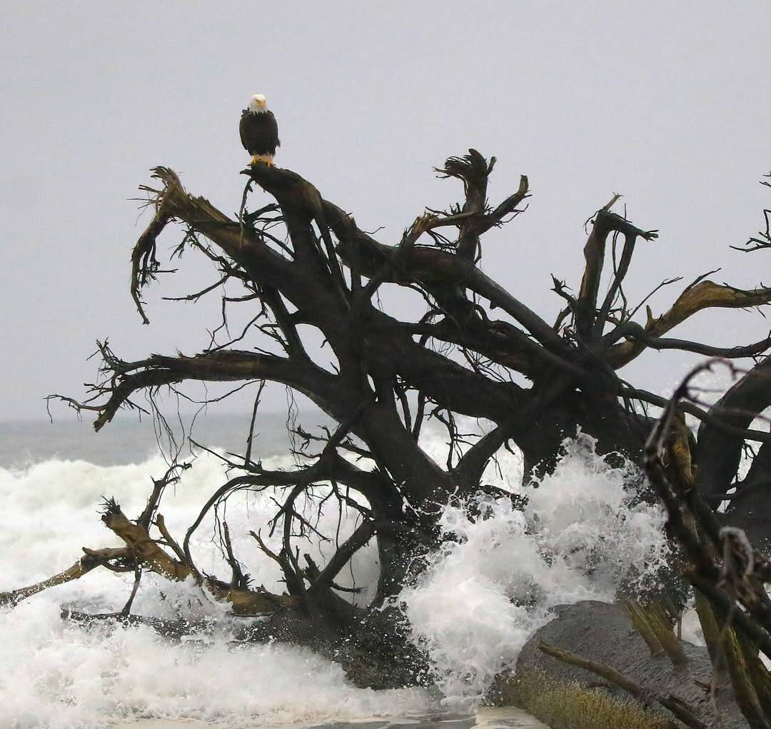
A weekend respite from downpours in Western Washington came to a close Sunday evening, as another round of showers and heavy wind hit communities that have already weathered several days of flooding.
For Grays Harbor County, including Hoquiam, Aberdeen, Quinault, Westport, Montesano, Rochester, Amanda Park, McCleary, Humptulips and Ocean Shores, a high wind watch will remain in effect until Wednesday morning, with southwest winds 25 to 45 miles per hour with gusts 55 to 65 miles per hour possible.
Damaging winds could blow down trees and power lines. Widespread power outages are possible. Travel could be difficult, especially for high profile vehicles. Gusty winds could blow around unsecured objects. Tree limbs could be blown down and a few power outages may result.
A flood watch is also in effect through Thursday afternoon for Grays Harbor, including Hoquiam and Aberdeen.
Excessive runoff may result in flooding of rivers, creeks, streams, and other low-lying and flood-prone locations. Creeks and streams may rise out of their banks. Flooding may occur in poor drainage and urban areas. Storm drains and ditches may become clogged with debris. Area creeks and streams are running high and could flood with more heavy rain.
Preliminary liquid totals in the coming days of 2 to 6 inches, locally higher in some spots, will cause additional sharp rises to area rivers. Very saturated soils will maintain increased risk for potential landslides and debris flows off of burn scars.
An atmospheric river washed over Western Washington between Sunday night and Monday night, and will be followed by another weather system Tuesday into Wednesday, said Harrison Rademacher, a meteorologist with the Seattle office of the National Weather Service.
This cycle isn’t expected to bring as much rain as last week’s torrent, but Rademacher urged residents, especially those who live near rivers, to keep an eye on changing conditions and possible flood warnings.
“We still have quite a bit of swelling on the rivers,” he said. “Winds will start to pick up — and when the ground’s also wet, it’ll be easier for trees and poles to come down.”
Here’s what we know about ongoing flood impacts and what’s to come.
What’s the forecast?
Most of Sunday featured cloudy skies, with rain beginning later in the evening. A wind advisory was in effect through 10 p.m. Monday, as gusts were expected to range between 40 and 45 miles per hour in most areas of Western Washington, according to Rademacher.
Along the coast, some areas saw gusts up to 55 miles per hour, the NWS meteorologist said.
Flood warnings remain in place for the Cedar, Green and White rivers in King County, as well as the Skagit River and the Cowlitz River near the Mayfield Dam.
Where have evacuations been ordered?
Floodwaters forced tens of thousands of Washingtonians out of their homes last week, as officials issued evacuation orders in parts of Chelan, Snohomish, Skagit, Pierce and Whatcom counties.
On Friday and Saturday, many people were able to return home and begin to survey the floods’ damage. Other areas are facing new evacuation orders this weekend as the region’s rivers continue to overflow.
Late Saturday night, residents in parts of South King County, including in Auburn and Kent, were ordered to leave their homes immediately while major roads were still accessible.
How have elected officials supported relief efforts?
Washington Gov. Bob Ferguson declared a state of emergency on Wednesday, calling in the National Guard and requesting assistance from the federal government. On Friday, President Donald Trump signed an emergency declaration to unlock short-term help from the Federal Emergency Management Agency.
Ferguson praised the president’s decision but noted that the state of long-term aid remains unclear.
U.S. senators Patty Murray and Maria Cantwell, along with U.S. representatives Suzan DelBene and Kim Schrier, visited hard-hit parts of the state on Saturday to hear about the ongoing response effort and to express gratitude to first responders.
— The Seattle Times contributed to this report.


