WA DNR wrapping up its statewide Wildfire Hazard and Risk Mapping listening sessions
Published 1:30 am Tuesday, February 24, 2026


For most of January and all of February, the Washington Department of Natural Resources (DNR) team involved with the Wildfire Hazard and Risk Mapping initiative has toured the state, holding listening sessions on the draft statewide wildlife hazard map.
The Wildfire Hazard and Risk Mapping initiative was developed in response to the passage of Senate Bill 6120 – Concerning the Wildland Urban Interface Code – on Mar. 15, 2024. Outcomes of this bill are DNR developing and updating a statewide wildfire hazard map; each county having a county-level wildfire risk map; standardized risk mapping criteria that DNR will establish with the State Fire Marshal’s Office; public access to hazard and risk maps and ongoing updates to the maps.
Angie Lane, an assistant division manager in the Wildland Fire Management Division who manages the plans and information section of the division, serves as the project manager of the Wildfire Hazard and Risk Mapping project.
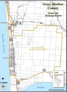
On Jan. 22, Hazard and Risk Mapping project team held an evening listening session in Aberdeen at the Rotary Log Pavilion that drew attendees from Grays Harbor and neighboring counties.
“We’re using these meetings to help make sure we’re on the right path, and then take input to help improve our map, and then also help us figure out the risk-mapping piece of this project,” Lane said.
Lane walked the group through the glossary of terms that are underpinning the work and were developed by the steering committee. The steering committee includes representatives from the State Fire Marshal, Insurance Commission, building code inspectors, planners, and fire officials from both the west and east side of the state who are providing guidance to the project.
For example, wildfire risk is “the chance that wildfires will ignite, spread and cause negative impacts to assets such as homes or infrastructure.” A hazard map “will represent both burn probability (likelihood of wildfire) and intensity (predicted flame height) of a wildfire occurring in a specific area.” And the base-level risk map is “the combination of wildfire hazard and vulnerability of high-value resources and assets. ‘Base-level’ represents the default statewide DNR-created risk map for all counties.”
Using the input shared at the listening sessions, DNR will provide each county with a base-level risk map. Lane walked the group through the key questions that the steering committee grappled with to inform creating the base-level risk map. These questions included what counts as vulnerable resources or assets and how do local assessments begin the state maps?
Of the progress thus far, Lane said that they have key definitions, an agreed-upon mapping approach for the hazard maps, and are drafting a structure for statewide local maps,
“And then we’re establishing a path for incorporating local knowledge and assessments, and that’s going to be that risk piece and the community aggregation piece,” Lane said.
The team has a deadline of July 1 to have the hazard map completed and most of the risk-mapping done and the material available on the website.
Included in the presentation was a slide on insurance. Lane acknowledged that many folks are concerned what may happen to their homeowner’s insurance if these maps are published.
“David Forte [senior policy advisor with the Office of the Insurance Commissioner] was on our committee, and he has been working diligently with insurance companies to share the message that, while yes, these maps describe hazard, they’re not being built to determine the risk index for insurance coverage,” Lane said. “They’re being built to use with the regulation related to WUI [wildland urban interface] as well as maybe some other things like community wildfire protection plan.”
Mason Friedman, a wildfire and smoke meteorologist, walked the group how the FSim: The Large Fire Simulator tool was used to develop the map. Developed in the early 2010s, “research has shown that it does a pretty good job of simulating fires in a way that’s realistic to reality,” said Friedman, adding that “The model uses recent fire history and weather data, fire data to simulate 10,000 to 50,000 fire seasons under those current conditions. It’s not looking 10,000 to 50,000 fire seasons into the future. It’s essentially saying, ‘If we had next year’s fire season, what are all the possibilities?’”
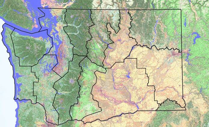
The state is divided into fire reference areas, and the model inputs are specific to that area. For example, fuel is an input, and the west slope of the Cascades is a wet forest type while in the east slopes of the Cascades is a dry forest type. Topography is another input, as is historic fire occurrence data and historic weather and fire danger data.
“We know that, even from year to year, there are different kinds of fire seasons; some fire seasons are worse than others,” Friedman said. “The model is essentially randomly selecting different fire danger and wind directions from actual data that we have over the last 20 to 30 years in that specific area and pre-creating fire seasons that are entirely plausible in that area.”
One of the model’s output is the annual burn probability, which is how often does a specific pixel or area burn. For the Aberdeen listening session, Freedman showed an output of an area outside of Aberdeen.
“Essentially across a 20,000-season simulation, pixels in that area experienced a wildfire on 16 different occasions so that is an annual burn probability of 16 over 20,000 or 0.08%,” said Freedman. “That’s not very high of a chance of getting wildfires in that pixel year-to-year but importantly, the model is still putting fires there. We do know that fires can happen here and they do happen here, but we’re just trying to get a sense of how frequently they occur so that we can make sure we plan and respond appropriately.”
The annual burn probability is assigned a category of very low, low, moderate, high and very high, and the 0.08% chance of burning is on the edge between very low and low.
Another model output is the initial fire intensity, which Friedman described as “when the pixels burn, how intensely do they burn?” and uses flame length as an indicator. A flame length of 8 to 12 feet indicates a fire intensity level of 5, on a scale of 1 to 6.
“If you’re interested in when fire happens here [and], what are the effects of that fire, we could potentially use some of that data to make those decisions,” Friedman said.
Friedman then walked the group through how the model is calibrated to ensure that the outputs are realistic.
Using these outputs, the team worked to develop the community-level maps that the counties need. Since there wasn’t a statewide geographic information system (GIS) layer of community or neighborhood boundaries, the team created the layer themselves using the Public Land Survey System sections layer. Working with county officials to refine the neighborhood and community boundaries is a future step.
Next, Lane led the attendees in a discussion on how to define risk and the valuable assets within their respective communities. “What are those risk elements we should consider when you are mapping risk?” she posed to the group.
She added, “one thing about the risk mapping, we were here to give folks a base level, so what data we can get that we can provide to the county.”
Additionally, she asked the attendees to identify valuable assets, such as utilities, transportation, homes and businesses. The session wrapped up with the group reviewing the draft hazard map and posing questions to the team.
A recording of the Feb. 10 listening session is available online, and the last virtual session will be held on March 4. For the meeting information, visit https://dnr.wa.gov/wildfire-resources/wildfire-prevention/wildfire-hazard-and-risk-mapping.