
People like to talk about the weather, it’s just one of those things. But when the National Weather Service does it, people should listen.
Jeff Michalski, NWS meteorologist, said there was a lot of rainfall last weekend in Grays Harbor County.
“Over the past 72 hours, there were rainfall amounts of 1 to 3 inches across the county,” he said Monday.
Michalski said the county saw a strong system that hovered over the area Friday, Dec. 10, and through the weekend.
“It was a lot of rainfall,” he said. “It did cause the Chehalis River to rise,” he said. “That is cresting, but it looks to remain below flood stage.”
A flood crest is the highest level a river reaches before it goes back down. In addition to the rainfall, Grays Harbor residents dealt with colder temperatures, too.
“In Hoquiam, temperatures were into the mid-upper 30s through the weekend,” Michalski said. “The temperatures in the afternoon were relatively mild (from) the mid-40s to lower 50s.”
Michalski explained the cause of the precipitation.
“There’s a trough that brought some rain to the area,” he said.
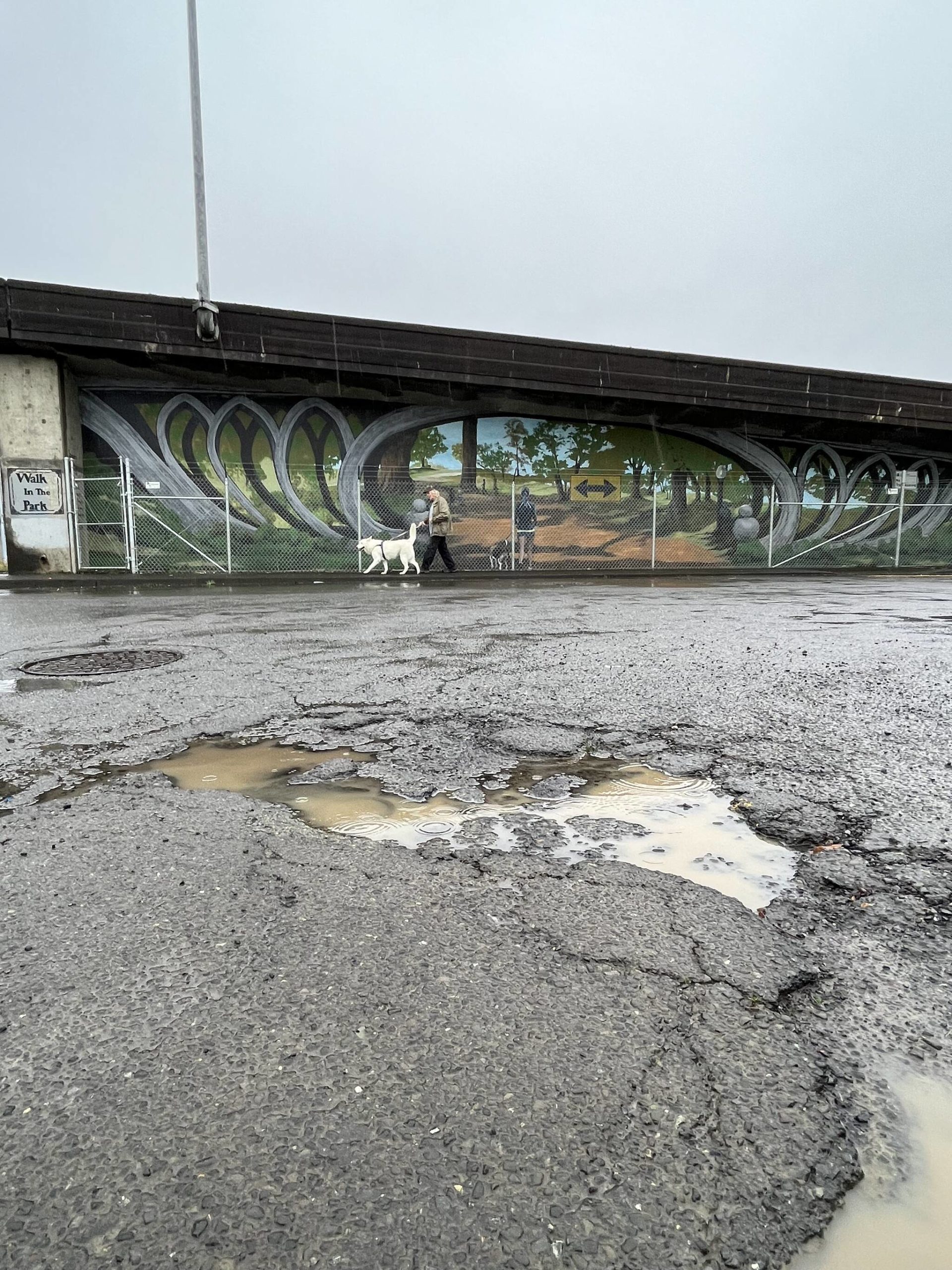
Grays Harbor residents should get used to colder temperatures and wet weather throughout the week, because they could be here to stay.
“We are in a cool and showery pattern through the week,” Michalski said. “This means temperatures will be a few degrees cooler than normal. The high temperatures (will be) in the mid-40s and the low temperatures (will be) in the 30s.”
Wednesday is likely the wettest period of the week. The high then is supposed to be 43 degrees and there will be a 90% chance of rain, according to NWS Seattle. The possible new precipitation amounts are between one-quarter inch and one-half inch.
“All told through this week, there’s another inch of rain expected,” he said.
The rain follows a much wetter than normal November. Hoquiam had 17.23 inches of rain, compared with a normal of 10.95 inches. December has also been a wet month, as 3 inches have been recorded thus far.
October was also a wetter month than usual, as 7.64 inches fell, which Mary Butwin, NWS meteorologist, said was about one-half inch higher than the average for the month.
There is also a chance of snow through the week.
“Although accumulations are not expected,” Michalski said.
He warned area residents that with the temperatures near freezing to drive with caution.
“You want to be careful if you’re on any bridges or overpasses,” Michalski said.
The good news is the temperatures through this week should remain above freezing.
Aberdeen Police Commander Dale Green said the majority of accidents that happen in Aberdeen are from those who fail to stop at a stop sign or stop light, and then from failing to yield to the person with a right-of-way after stopping.
Green named Wishkah and Heron streets as the roads with the most collisions.
“It makes sense because they have the highest volume of traffic,” he said. “With the speed limit at 30 mph, we typically see less severe collisions.”
Green also gave a couple tips to motorists, bicyclists and pedestrians for how to avoid traffic accidents.
“We always encourage people to slow down and to give themselves extra stopping distance,” he said. “We would encourage bicyclists to ride with a helmet. (For) pedestrians, use reflective gear and-or carry a flashlight.”
Those along the coast should be wary of the swells, which are about 15-16 feet, Michalski said.
“Be aware of large waves crashing up on the beaches,” he said.
Michalski said the coast does tend to receive high swells during the fall and winter seasons.
“It’s just something to be aware of if you are doing any clam digging on the beaches,” he said. “If you’re on the beach in general, if you’re on the jetties be aware waves could be crashing over.”
