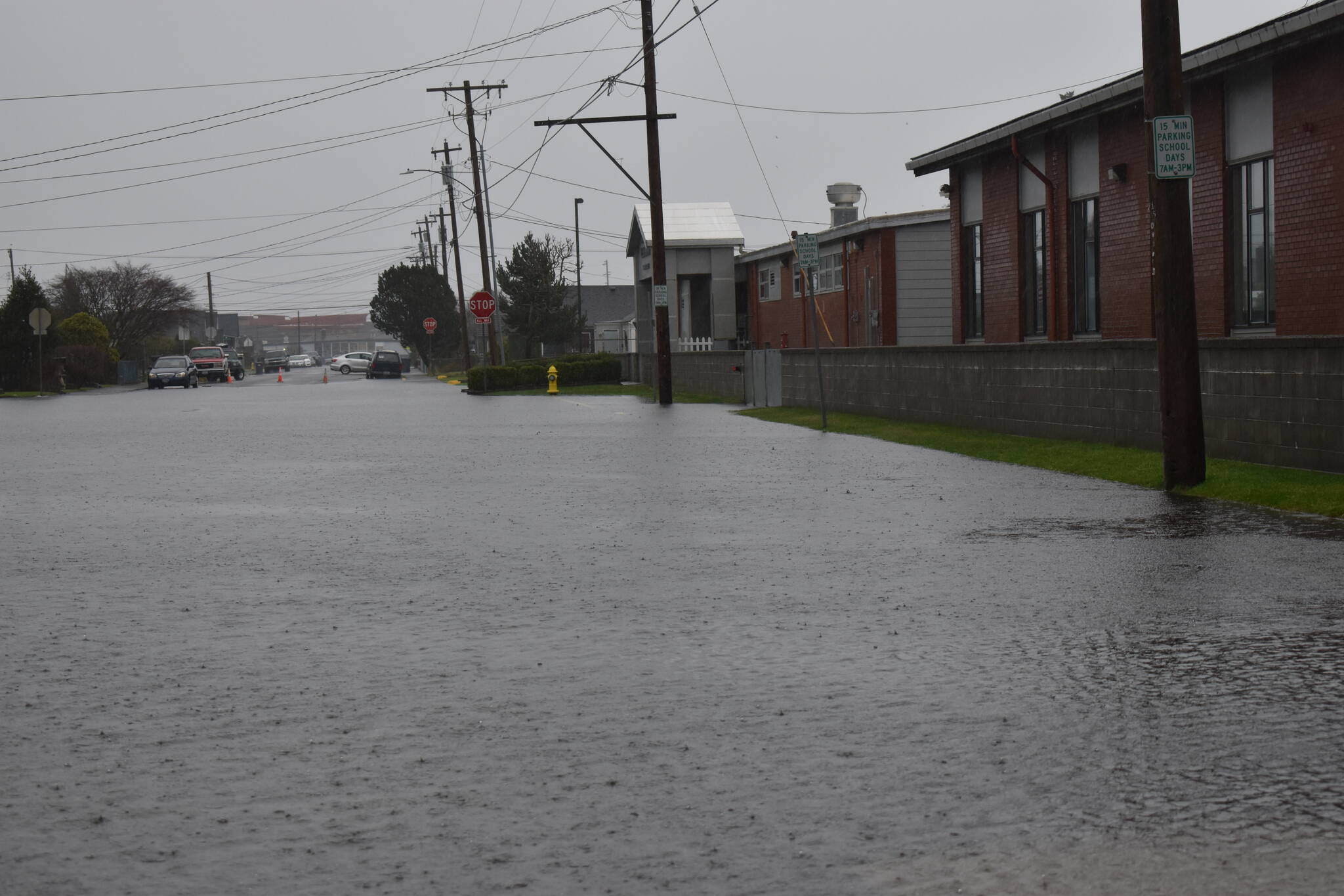
A pair of grants from the Washington State Department of Ecology will allow Grays Harbor County to pinpoint which areas of the county are at greatest risk to impacts from future sea level rise, and map movement of several river channels.
The state environmental agency announced on Oct. 19 the award of $3 million in competitive grants to 21 cities and counties across the state to assist with planning efforts for river, lake and marine shorelines. Grays Harbor’s sum amounted to $212,500, including $130,000 for a sea level rise vulnerability assessment and $82,500 for mapping meanders and changes in river channels.
Jane Hewitt, principal planner for Grays Harbor County, said both assessments will contribute to future updates of the county’s shoreline master program, the state-mandated document that guides shoreline protections and uses established by the 1972 Shoreline Management Act.
The most recent update to the program, which occurred this year, incorporated several policies related to sea level rise, including limits on residential and transportation developments outside sea level rise areas. Information from the recently-funded assessment will give a clearer picture of what those areas are.
“There’s been extensive work (on sea level rise) by a number of different scientific groups and environmental agencies,” Hewitt said. “Much of it has been focused on Puget Sound and not necessarily the outside coast. It’s important to have information about what’s happening here rather than generalized data.”
Climate impact study groups from the University of Washington and Oregon State University have modeled climate change-induced sea level rise in Washington, predicting anywhere from one to three feet of rise by the year 2100 for a “high” emissions scenario, and more dramatic levels for the “worst case scenario.” The latter university in 2015 embarked on the “Grays Harbor Coastal Futures Project,” which intended to boost resilience in and on Grays Harbor to sea level rise, flooding and erosion.
The upcoming assessment will be planning department-specific. With the most recent sea level rise grant money, Grays Harbor County will hire a consultant to create computerized spatial models for future areas of saltwater inundation during high tides and stormwater events. Along with information about freshwater flooding events, input from tribes and scientists, they’ll use the models to develop maps of risk for projected scenarios in years 2050 and 2100.
The assessment will identify public and private stakeholders at risk to rising tides and rivers. Those stakeholders, including government and nongovernment, business and industry, and community or neighborhood groups will have a chance to learn about the assessment and inform the planning process, through online materials and a series of public workshops. A final report with findings and recommendations about sea level rise must be completed in the next two years, based on grant deadlines.
Hewitt said the planning department may choose to seek further grant funding to address gaps of information identified by the study, or to implement some of its recommendations. For example, Pacific County was awarded $157,000 for “phase 2” of a sea level rise study through Ecology’s Shoreline Planning Competitive Grant Program.
Any city, county or town in Washington with a Shoreline Master Program is eligible to apply for funding. Kitsap County also received a planning grant related to sea level rise, as did the cities of Coupeville, Ilwaco and Port Townsend.
Chelan and Clallam counties received grants to map river movement, along with Grays Harbor. Grays Harbor’s Shoreline Master Program limits development within an active Channel Migration Zone — the area where main river channels are “reasonably predicted” to naturally meander over time — but doesn’t specifically define these boundaries.
The county plans to hire a consultant to create a definitive map of these zones of river movement — which are prone to property damage because of hazards like erosion, high water or woody debris — for the Chehalis, Satsop and Humptulips rivers.
Contact reporter Clayton Franke at 406-552-3917 or clayton.franke@thedailyworld.com.


