
The city of Montesano is looking to make the public’s use of its trail system around Lake Sylvia a safer and more enjoyable experience.
To that end, the city council unanimously adopted an intern-designed forest trail system management plan at its Dec. 12 meeting.
The plan addresses general improvements and maintenance for the 20 miles of walking and mountain biking trails it owns on 5,000 acres surrounding the lake. But its primary focus is on gradual development of a system of signs and maps on the trails that will better allow users to locate where they are for purposes of both safety and ease of usage.
“We’re just trying to make it a whole lot easier for people to really recognize their areas, what the distances are,” explained Montesano City Forester Loren Hiner.
Hiner acknowledged that incidents in which users of the trails have lost their way and have had to be rescued by authorities have become a problem for the city.
“As we’re bringing in more people to use the trails, people are getting lost,” he said. “(The trails) haven’t been very well signed, so we had a problem with people getting turned around and getting lost in the forest.”
Such incidents should become less numerous in the future, however, with the installation of small trail-side maps, trail kiosks and additional trail posts that will allow users to better orient themselves.
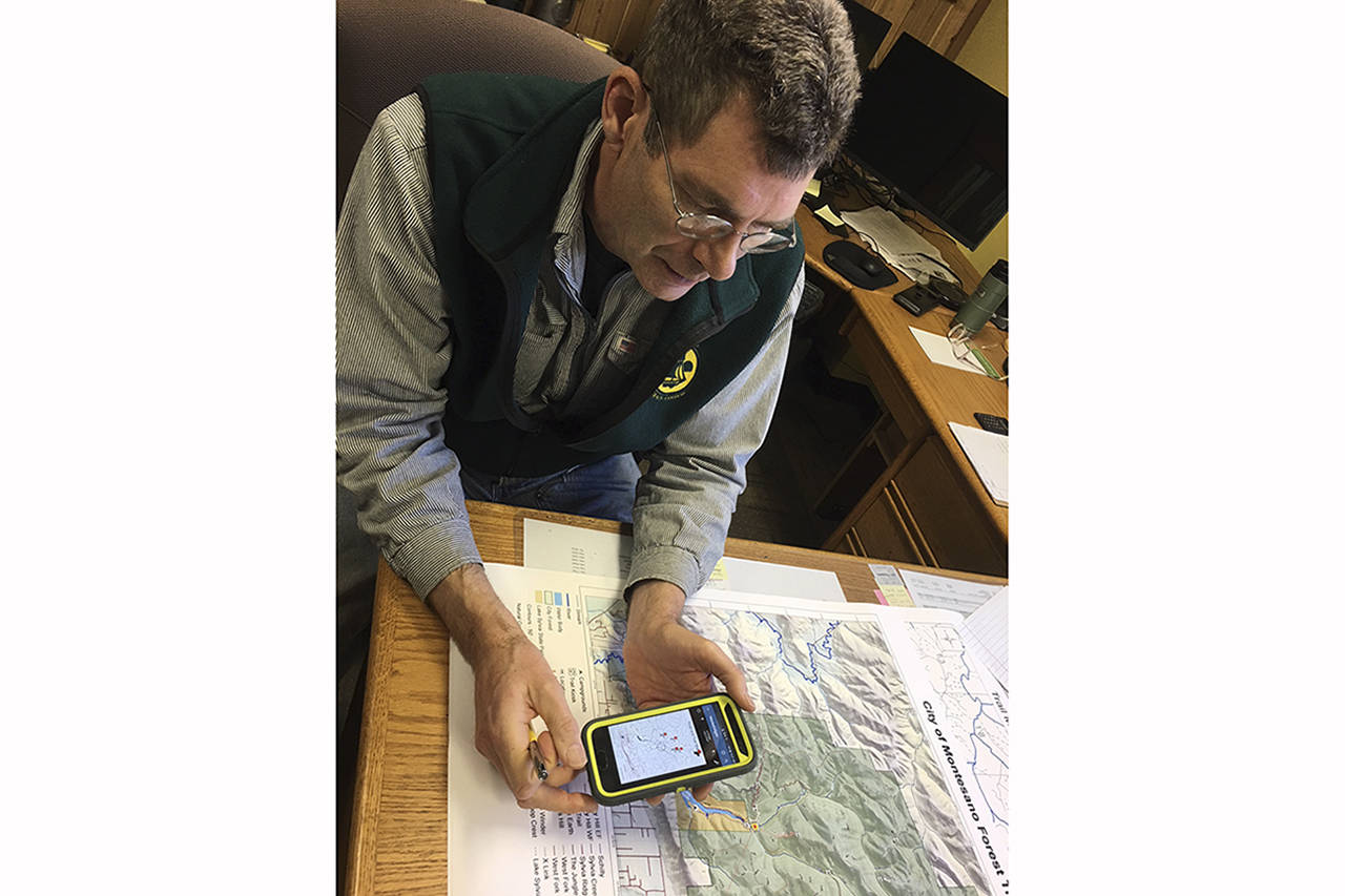
Barcodes in the bottom corners of the maps can be scanned with a smartphone to take users to the city website’s forestry page, and users can download maps for use with the Avenza Maps application.
Hiner said Verizon customers shouldn’t have problems with service in the trail area. Customers of other cellular carriers can still take advantage of the system by downloading maps to their phone before they head out on the trails.
The improvements will be paid for out of logging revenue to the city, with most of the elements of the project running in the neighborhood of no more than a few thousand dollars, Hiner said.
Two Green River College (Auburn) interns to the city’s forestry department are behind the plan. Chad Horky put together the plan as his capstone project for his bachelor’s degree in forest resource management with assistance from fellow student Jake Jaraczeski.
“I really noticed the value of the trail systems out there and (in) talking with a few people realized how important the trails are to the community, as well as to visitors who come to Lake Sylvia State Park,” Horky said of the inspiration behind the project.
Horky, who spent two summers interning with Hiner, added that he saw the need for better signage and maintenance and was also aware that the mayor and city council are keen on increasing tourism to the area.
The plan was designed more or less from scratch, he said, though he did refer to plans developed elsewhere, particularly at the federal level, for general guidance.
Horky emphasized that the plan was intended as more than just a school project. It was created with the community’s best interests in mind, and multiple stakeholders were consulted as part of its formulation.
Hiner suggested the plan forms part of a larger program of sustainable forest management, noting that the watershed property that the city has owned since the early 1930s is both a recreational and financial asset.
“We really want to invite people and make people comfortable coming out and walking these trails. We want them to have a real positive experience and not have a negative one,” Hiner said.
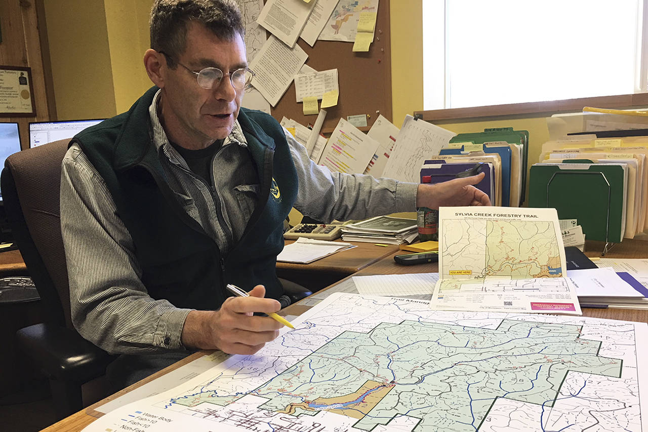
(Todd Bennington | Twin Harbors Newspaper Group) Montesano City Forester Loren Hiner shows a copy of a map that will be placed on recreational trails as a means of helping the public navigate them more easily.
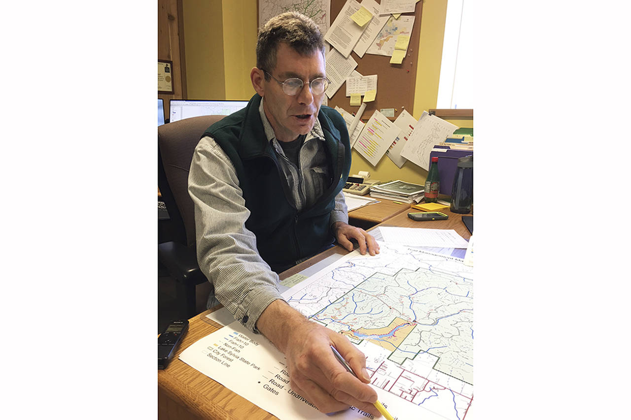
(Todd Bennington | Twin Harbors Newspaper Group) Montesano City Forester Loren Hiner shows a copy of a map that will be placed on recreational trails as a means of helping the public navigate them more easily.
