
Forecasters rely on sophisticated computer models to track, monitor and predict the path of storms. But sometimes Mother Nature gets the best of even the brainiest of prognosticators.
That certainly was the case this past weekend. The National Weather Service was tracking typhoon remnants in the Pacific heading this way. Similarly, in 1962, it was a typhoon, or what was left of it, that smashed into the Northwest leading to the devastating Columbus Day Storm with winds gusting far above the 100 mph mark.
Weather analysts put out the alert. Some predicted a storm of comparable measure. Others said no, but the general consensus was for widespread power outages, downed trees, gusts to 80 mph and more, and the potential for loss of life and property.
Of the many models being considered when predicting the timing and severity of the storm, three were given as examples by the NWS Sunday: The North American Mesoscale Forecast System (NAM) model, the Global Forecast System (GFS) model produced by the National Centers for Environmental Prediction, and the UK-based European Medium Range Forecast (ECMWF) model. All pool satellite imagery from around the globe and use the most cutting-edge weather forecasting tools to track storms and predict their areas of impact.
In the case of the weekend’s storm, all three models had what globally were slight differences in where the system would hit the coast. NAM had the worst-case scenario, hitting the coast just north of Grays Harbor. GFS showed the storm making landfall about where 101 turns east from the coastline, about halfway between Kalaloch and Forks. The European model had it farther west, contacting the shore near Ozette, about 20 miles south of Neah Bay. All three would have likely caused a great deal of damage across much of the Peninsula and into Puget Sound, the northern interior and Vancouver Island.
As it turned out, the storm took a sharp turn north more than 100 miles due west of Grays Harbor, maintained that course to the tip of the Peninsula, then cut 45 degrees east before hitting Vancouver Island just south of Ucluelet and traveling across the island just about north of Nanaimo. The National Weather Service in Seattle released a statement Sunday stating, in part, “Yes, our forecast did not turn out as predicted. We are not pleased about it either. Post-storm assessments allow us to evaluate our forecasts to determine ways in which we can improve. These assessments are especially critical when our forecast does not turn out as expected. We hope that you do not ignore future warnings or distrust our forecasts because of this event. Although weather models, the technology, and the science are constantly improving, there is still an aspect of unpredictability in weather forecasting. Sometimes, Mother Nature simply does not want to cooperate with the forecast.”
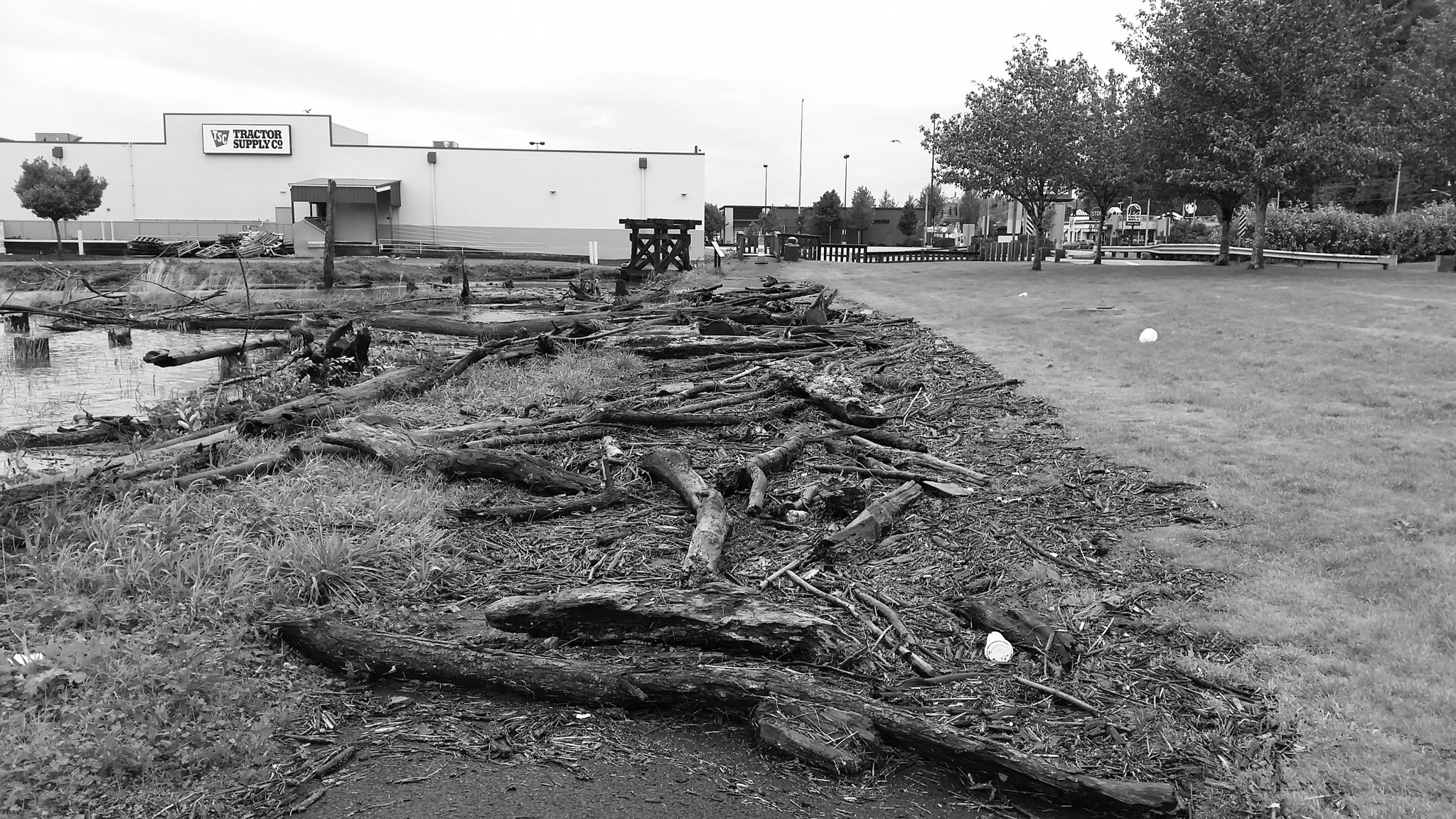
The Harbor did see significant wind and rain, with gusts to 55 mph and 4.68 inches of rain at Bowerman Airport during the storm’s course. Grays Harbor PUD, city and county public works and emergency service departments and local fire and police prepared for a worst-case scenario, and the effort wasn’t wasted.
“We will always prepare for the worst, yet hope for the best. Luckily, we had little impact from the storm this time. Next time we may not be as fortunate,” said Grays Harbor County Emergency Management Director Charles Wallace in a statement Saturday evening.
It is the preparation that likely kept the area from seeing any serious damage from the still-powerful remnants of the storm that did hit the Harbor, he said, adding, “Thank you for your cooperation and diligence throughout these two storm events. Your preparation efforts and confidence in our alert messaging would have limited any impact the storm might have caused if it passed closer to our county.”
