Flood damage assessments underway in Grays Harbor County
Published 1:30 am Monday, December 29, 2025
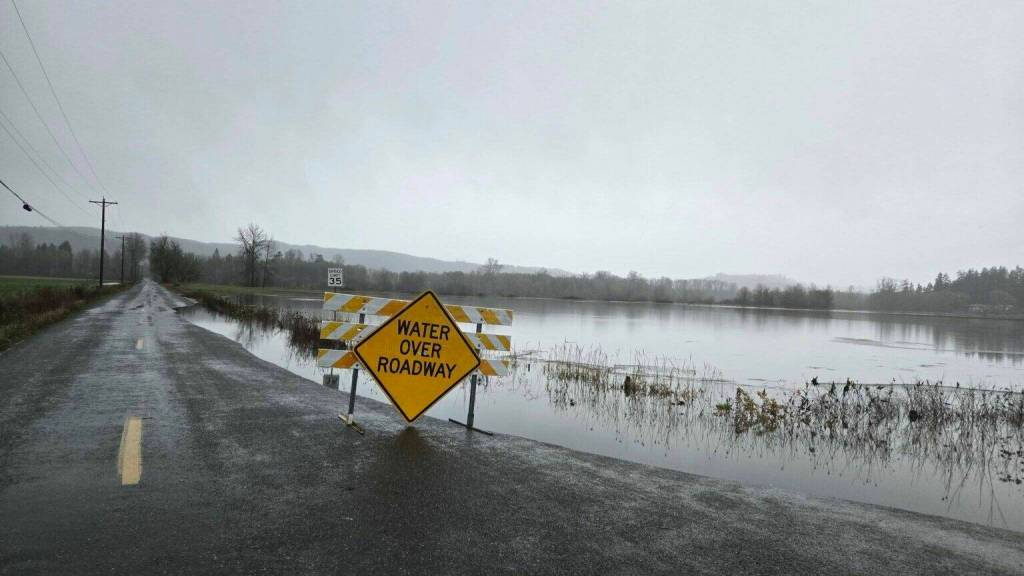
The Grays Harbor County Emergency Management announced that Joint Preliminary Damage Assessment data verification spot checks are underway this week in Grays Harbor County.
Teams from FEMA, the U.S. Small Business Administration, Washington state, and Grays Harbor County Emergency Management are continuing assessments.
Assessments are windshield only (drive-by or stopping at or near roadways) to verify flood inundation water heights using GIS data. Photos of visible flood impacts may be taken solely to support data verification.
Please note:
No photos of people will be taken
Teams will not enter private property
There is no planned interaction with residents
Teams may be driving slowly through affected areas while conducting assessments.
This effort supports accurate flood impact data and helps inform future planning and response efforts.
If you have questions, contact Grays Harbor County Emergency Management at ghcdem@graysharbor.us or 360-249-3911.