Site Logo

WDFW plans drone flights to assess Elk River habitat conditions

Published 1:30 am Wednesday, February 18, 2026

DNR
Totaling 5,560 acres, the Elk River Natural Resources Conservation Area in Grays Harbor is the largest, highest quality estuarine system remaining in Washington or Oregon. Elk River Natural Resources Conservation Area includes diverse habitats, ranging from tide flats and sloughs, saltmarsh and freshwater wetlands, to forested uplands. As part of the Pacific Flyway, the Elk River estuary is an important spring and fall stopover area for shorebirds and waterfowl, such as the common loon, tundra swan, and various species of ducks, plovers, and sandpipers, supporting up to 1 million shorebirds annually. The Elk River Natural Resources Conservation Area located southeast of Westport also includes a nesting site for bald eagle and significant habitat for elk, bear, beaver, river otter and other mammals.

DNR

Totaling 5,560 acres, the Elk River Natural Resources Conservation Area in Grays Harbor is the largest, highest quality estuarine system remaining in Washington or Oregon. Elk River Natural Resources Conservation Area includes diverse habitats, ranging from tide flats and sloughs, saltmarsh and freshwater wetlands, to forested uplands. As part of the Pacific Flyway, the Elk River estuary is an important spring and fall stopover area for shorebirds and waterfowl, such as the common loon, tundra swan, and various species of ducks, plovers, and sandpipers, supporting up to 1 million shorebirds annually. The Elk River Natural Resources Conservation Area located southeast of Westport also includes a nesting site for bald eagle and significant habitat for elk, bear, beaver, river otter and other mammals.

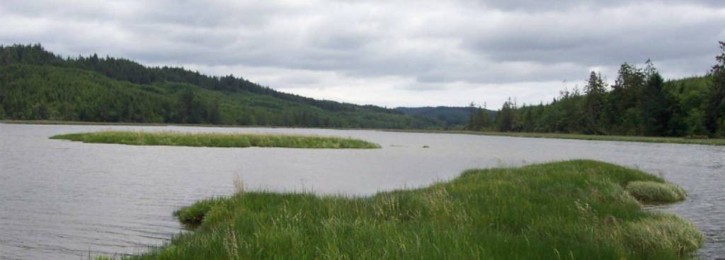
Washington Department of Fish and Wildlife (WDFW) staff will fly a drone over sections of the Elk River Wildlife Area Unit and the Department’s Coastal Region office property in Grays Harbor County beginning this month to gather data on habitat conditions.

Flights will take place in February and March 2026, depending on weather and visibility. They will focus on the upland forested area of the wildlife unit south of Westport and around WDFW’s office on Devonshire Road near Montesano.

WDFW manages the Elk River Wildlife Area Unit, near the Sopun Inlet estuary, to conserve coastal forest and estuary habitat and support species recovery. Updated aerial imagery will inform the Department’s habitat restoration and forestry management at the wildlife area and long-term planning near the regional office.

WDFW staff with Federal Aviation Administration (FAA) Small Unmanned Aircraft System Remote Pilot certification will conduct the flights under FAA and WDFW policies. The pilot will maintain line of sight with their drone for awareness of potential disturbances to wildlife and people. The pilot will ground the drone if conditions become unsuitable to fly safely or responsibly.

WDFW has notified neighboring property owners and is working with them to avoid privacy impacts. The Department expects no area closures or significant public impacts.