
The U.S. Coast Guard wants 178 feet of clearance for boats under the next Interstate 5 Bridge, much more than the current 116-foot clearance that bridge project leaders propose.
The Coast Guard’s request was expected by the Interstate 5 Bridge Replacement Program’s leaders, who plan to press on with a 116-foot clearance and collaborate with the Coast Guard to find the best answer.
Greg Johnson, program administrator for the bridge project, said building a bridge with 178 feet of clearance would impose problems on the bridge design. The roadway grade would be too steep; the bridge would pass over Hayden Island; and it would reach into restricted airspace of nearby airports.
The Coast Guard’s 178-foot proposal, as tall as the current drawbridge when it’s fully lifted, is based on a “mandate from Congress to maintain freedom of navigation on the navigable waters of the U.S. and to prevent impairment to U.S. navigable waterways,” according to a June 17 letter from B.J. Harris, chief of waterways management branch to project officials.
Harris’ letter acknowledged that the “preliminary determination does not constitute an approval or final agency determination. A final agency determination will be made in accordance with all applicable regulations after IBR submits a complete bridge permit application.”
Agencies involved in the Interstate Bridge Replacement Project are beginning to formally approve the bridge plans, which are called the Locally Preferred Alternative. Those agencies include TriMet, which endorsed the plans (with the 116-foot clearance). The Vancouver City Council is expected to endorse the plan on July 11.
However, the Clark County Council raised objections to the plan on Wednesday, June 29, including inclusion of a light rail line.
On July 21, Interstate Bridge Replacement Program leaders expect to gain formal approval of the bridge plan from the Executive Steering Group and the Bi-state Legislative Committee.
The Executive Steering Group includes several Washington leaders:
■ Roger Millar, secretary of the Washington State Department of Transportation.
■ Shawn Donaghy, CEO of C-Tran.
■ Matt Ransom, executive director of the Southwest Washington Regional Transportation Council.
■ Anne McEnerny-Ogle, Vancouver mayor.
■ Julianna Marler, CEO of Port of Vancouver USA.
■ Lynn Valenter, community advisory group co-chair.
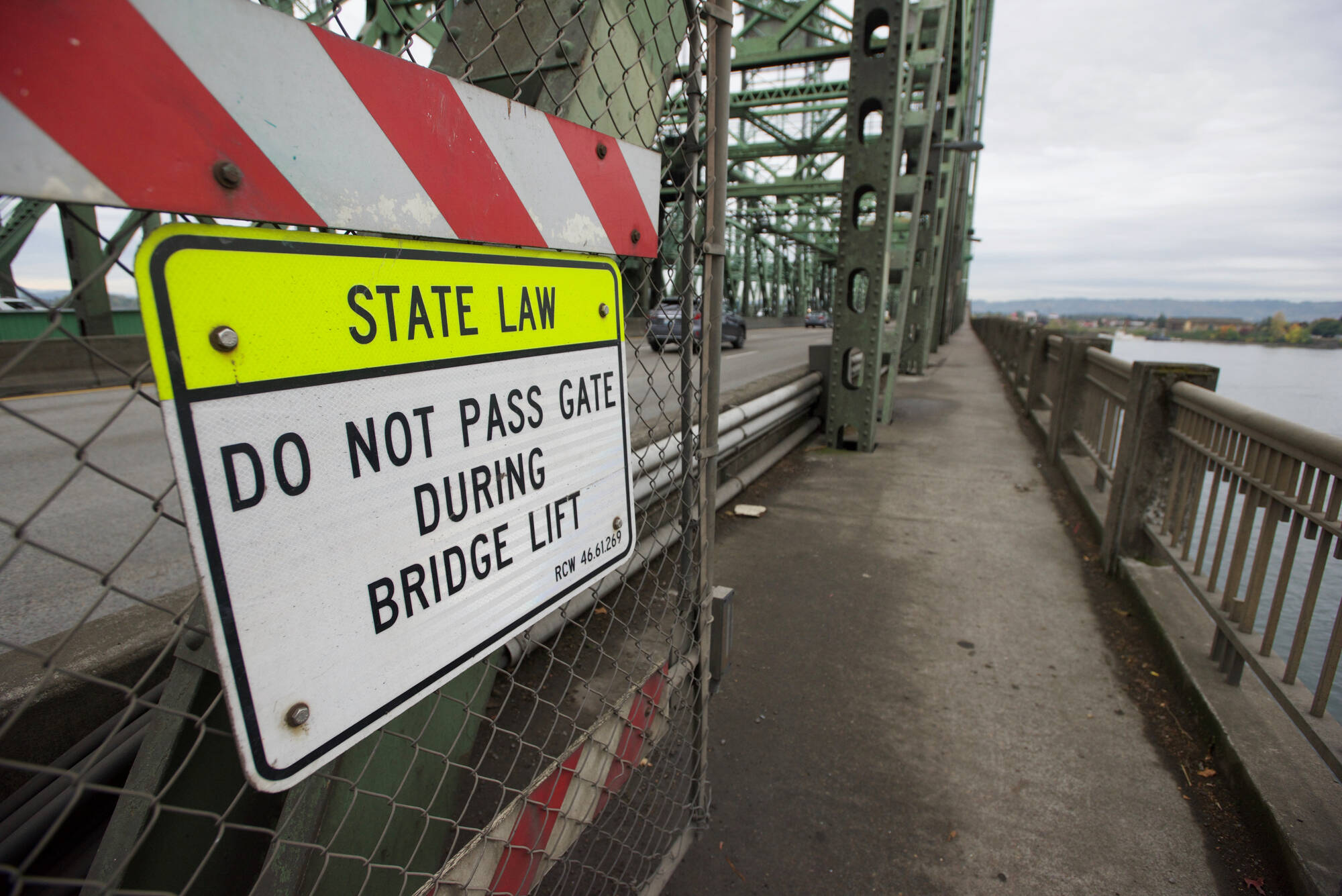
Another drawbridge?
Building a new drawbridge could satisfy all height requirements. But Johnson said eight agencies that are part of the Executive Steering Group agree that the best way to meet the multimodal transportation needs of the program is to not build a lift span.
There are three companies that would be limited by a 116-foot clearance bridge upriver of the I-5 Bridge, and Johnson said the bridge project team “can mitigate at a much lower price” their losses, compared to the costs of operating a moving-parts bridge over the course of the new bridge’s 100-year lifespan.
In 2013, the Columbia River Crossing program agreed to pay $86.4 million in mitigation costs to those companies for a bridge with 116 feet of clearance. Because the project was not funded, the mitigation payment was not made.
With a 116-foot clearance, the bridge grade would be slightly less than 4 percent, which “still is within tolerance for freeway conditions for interstate travel,” Johnson said.
The Fremont (Interstate 405) and Marquam (Interstate 5) bridges near downtown Portland both have steeper grades, he said.
Johnson said he’s mindful of heavy trucks and the climb they’d need to make getting on the bridge, and the 4 percent grade would be suitable.
“We’re confident we can find a solution that satisfies the (Coast Guard’s) needs and the needs of the users,” Johnson said.
“In the next few months, we will complete a written assessment to analyze the tradeoffs of a higher navigation clearance. While our hope is to avoid a lift span bridge option, we will continue to closely coordinate with the Coast Guard to discuss the trade-offs and mitigation to accommodate river navigation, highway and air needs, along with the needs of all multimodal travelers crossing the Columbia River.”
