Winds to diminish, but flood threat continues through today
Published 9:30 am Friday, February 10, 2017
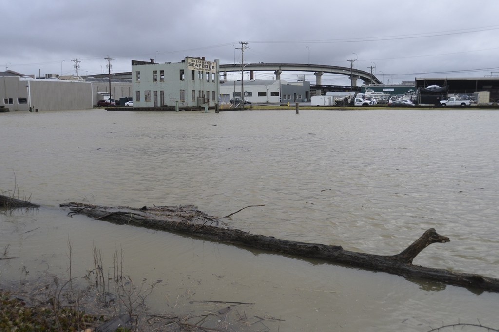


The National Weather Service has issued a flood warning for the Chehalis River. It was forecast to reach flood stage at Porter around 2 p.m. Friday afternoon, crest at 22½ feet at 4 p.m. today, and then recede below flood stage by 10 p.m. Sunday. Flooding could affect low-lying pasture land and roads as well as portions along Highway 12 at Anderson Road on Saturday. No other rivers are expected to flood, according to Charles Wallace of Grays Harbor County Emergency Management.
Showers will continue into Saturday and sunshine is expected Sunday.
An “areal” flood watch has been issued through 10 p.m. Saturday, which means there is the potential for gradual ponding and flooding to build over a period of time. All low-lying areas of the county could be susceptible to ponding and pooling of water during this event. Small streams and rivers could overflow their banks due to the rain and the last of the snow melt.
The threat of landslides is increased throughout the region, due to the snow and rain-saturated soils. The threat will likely last through the weekend, said Wallace, who added the saturated soils and strong wind gusts may also create power outages due to downed tree limbs and power lines.