Wet and cold will remain with us for a few more days
Published 1:30 am Wednesday, February 5, 2025
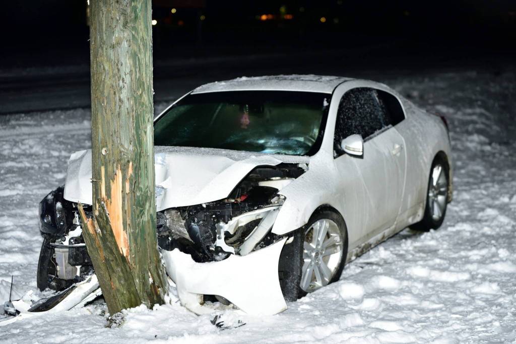
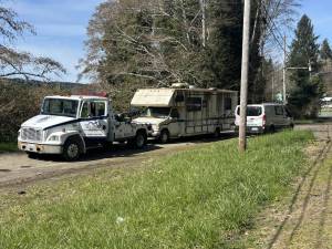
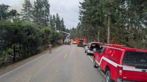
With snow battering Grays Harbor and Pacific counties for the past few days, you can expect a bit more of the cold and periodic snow flurries through mid-day Wednesday, but the widespread school and business closures as well as extremely slick roads should be behind us.
The National Weather Service has placed a winter weather advisory through noon on Wednesday for Southwest Washington, the South Washington coast, the Willapa lowlands, Tokeland, Willapa and Raymond. Expect wet snow and up to three inches of the white stuff.
Impacts will be roads, especially bridges and overpasses, which could become slick and hazardous.
Have a winter emergency driving kit readily available. Common items to include: flashlight, batteries, blankets, a shovel, water, non-perishable food items, tire chains, etc. Be aware that walking surfaces may be slick. Walk with extra care.
In the Washington Willapa Hills, heavy snow is forecast, with total snow accumulations from four to eight inches.
Consider postponing travel until weather conditions improve. If you must travel, be sure to slow down and allow extra time. If your car becomes trapped in deep snow, be sure to keep your car off to stay safe from potential carbon monoxide poisoning.
If you are using a generator, be sure to keep it outdoors and away from windows and vents.
Backcountry recreation is not advised.
Rain is predicted to switch to rain after 1 p.m. on Wednesday, with highs near 39. Wind chill values will between 21 and 31, with an east wind around 10 mph. Chance of precipitation is 90%.
On Wednesday night, expect rain and snow showers, becoming all snow after 1 a.m., with a low around 29. Chance of precipitation is 80%.
On Thursday, there is a chance of snow showers before 7 a.m., then a chance of rain and snow showers between 7 a.m. and 1 p.m., then a chance of rain showers after 1 p.m.