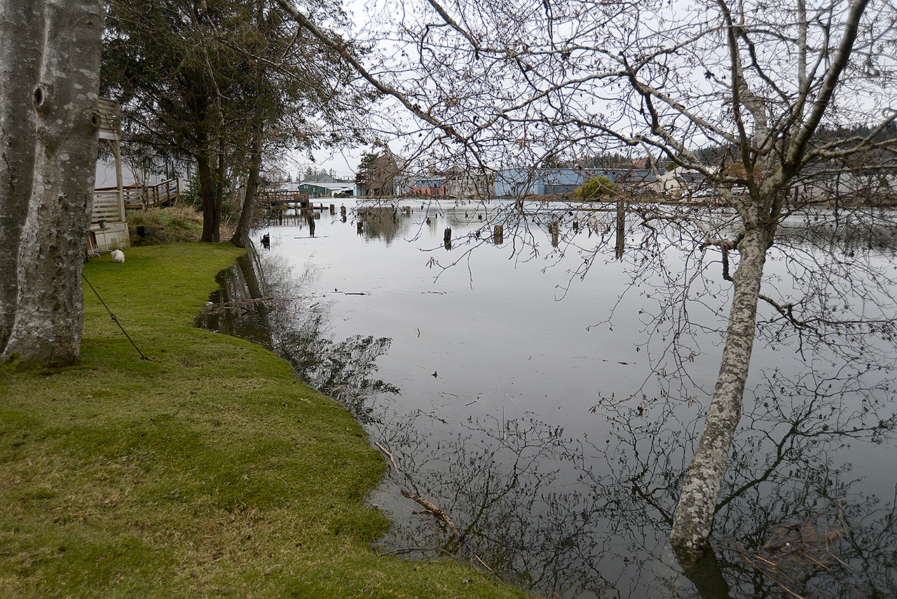
Owners of property in Aberdeen within what’s known as the special flood hazard area will save money on their flood insurance as a result of the city council’s approval Wednesday evening of updated standards that exceed minimum federal requirements for responsible floodplain management by the city.
The average yearly rate for flood insurance in Aberdeen is $1,429 and these changes will result in most residents saving at least 10 percent on their premiums because of updates to the city’s flood damage prevention ordinance, said Kris Koski, city engineer.
The National Flood Insurance Program is administered by the Federal Emergency Management Agency. It considers the lower insurance rates an incentive for communities to find ways to prevent loss of life and property. Through its Community Rating System, the program lays out how to improve local conditions so there are fewer or less severe after-effects because severe floods bring economic hardship through jobs being lost and loss of access to important locations and roads that lead people to these sites.
“The Community Rating System is like a tool used by FEMA to identify where a community is responsibly managing their floodplain and rewards them with lower flood insurance rates,” Koski explained.
There are more than 700 flood insurance policies in effect in Aberdeen’s flood zones. But not every property owner within the areas has a policy. Some property owners have fully paid off loans and liens; others have less conventional payment arrangements on their properties.
Special flood hazard areas are 100-year flood sites. Koski pointed out that floodplain management regulations must be enforced and purchasing flood insurance is mandatory in these high-risk locations.
There are some sites are no longer considered special flood hazard areas now that federal officials have completed remapping of the city and flood insurance requirements in these areas will be lifted. The last major mapping work occurred in 1984. The updated ordinance update takes into account the new designations.
Locations redesignated from the 100-year flood to moderate flood hazard risk places are generally situated east and north of F Street and Fuller Way and west of the Wishkah River. The risk of flood hazard has been somewhat downgraded by federal officials in these places, but federal officials recommend that property owners and renters in these areas consider continuing their flood insurance coverage even though carrying flood policies will no longer be required.
There are some other minor changes in risk classification around the city.
”I encourage individual property owners to check the new maps to determine if this change applies to them,” he said.
Paper copies of the new maps are available for viewing at City Hall during weekday business hours. These new maps will be available on the city’s web site soon now that the ordinance has been approved.
Koski also noted that owners of properties that will be protected by the North Shore Levee would no longer be required to carry flood insurance once that flood control work is eventually completed.
There have been other code changes as a result of the ordinance update. One is that the floor elevation for new construction and substantial improvements of structures now is approximately 4/10ths-of-a-foot higher than was required in the past on sites within Aberdeen’s special flood hazard areas. The minimum floor elevation was raised by that amount to reach a level that is two feet above the base-flood elevation, which earns Aberdeen credits in the system and will result in lower flood insurance rates for existing and new policy holders in these high-risk areas as well, he explained.
Also new is that what the city defines as critical facilities — such as bridges, schools, hospitals, fire stations, nursing homes, water treatment plants and hazardous material sites — wouldn’t be allowed within special flood hazard areas under many circumstances. However, construction of new critical facilities in these areas only would be approved if “no feasible alternative site is available and the design protects the facility from a 500-year flood,” Koski said.
Most of the city isn’t within a river-related flood way so the ordinance update shouldn’t affect the amount of land available for future large-scale developments, he added.


