
Wind, rain and heavy swells are expected to pelt the area as a strong weather system is anticipated to arrive this weekend.
Officials at the National Oceanic Atmospheric Administration and local emergency management services offices expect a storm system with the potential to bring wind gusts upwards of 50 mph and coastal swells of approximately 35 feet to Grays Harbor and Pacific counties this weekend, but there is still uncertainty regarding the severity of the storm as it moves toward land.
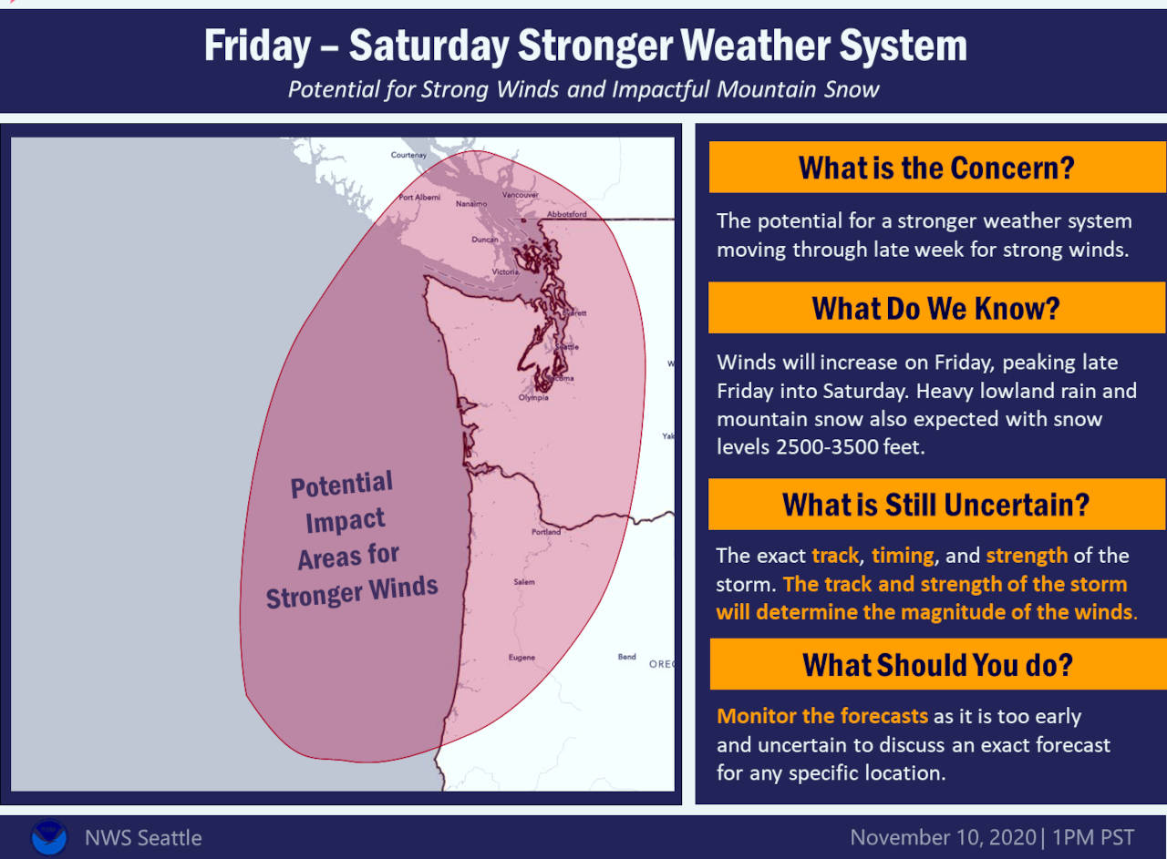
“We’re not quite sure exactly where it’s going to go, how strong it’s going to be or when it’s going to get here,” said Gerald Macke, a Meteorological Technician with the NOAA Portland office. “So there is a fair amount of variability in the forecast at this time.”
According to Macke, whose office covers Pacific County, the area will see some light rain in the area at sunrise on Thursday that is expected to increase at 10 a.m. and continue through Friday at midnight, dumping approximately 2-2.5 inches of rain in the area. He added winds are expected to pick up in Pacific County on Friday, with the strongest winds hitting late Friday evening with gusts of up to 40-45 mph and swells on the coastline expected to reach 30-35 feet.
“Friday evening is going to be really unpleasant off the coast,” Macke said before warning curious beach-goers not to underestimate the power of Mother Nature. “In particular, the beaches will be hazardous on late Friday. … Don’t turn your back on the ocean at all.”
Pacific County Emergency Management Director Scott McDougall echoed Macke’s sentiment.
“I have seen in events like this, the waves will actually push all the way up the beach approaches onto the access roads,” he said. “It’s always good practice not to turn your back on the beach, but in an event like this, it’s the utmost importance to do so. Waves can come far farther up with little to no warning.”
Both McDougall and Macke stated that though there is less of a chance for inland flooding along the rivers, due to the river being at a lower than average level for this time of year, there is a potential for coastal flooding.
“We expect coastal flooding because of the unusual high tides on Saturday in particular,” Macke said.
“There is a potential for coastal flooding related to high swells and tides occurring with windstorms,” McDougall said. “That has a tendency to push water over places like Highway 101 in Raymond and near the South Fork bridge.”
Higher than usual “king tides,” a seasonal occurrence, are expected this weekend. An 11.7 foot high tide is forecast at Raymond for 11:30 Friday morning and a 12.3 foot tide just after noon on Saturday.
In Aberdeen, high tide on Friday is predicted at 11.5 feet at 11:13 a.m. Saturday, a 12-foot tide is expected at 11:55 a.m.
Grays Harbor County can expect similar weather events, but with NOAA forecasters uncertain as to the track the storm will take as it approaches the coast, the storm’s potential impact is difficult to nail down.
“We’re starting to have a better consensus, but there is still an amount of uncertainty,” NOAA Seattle Forecaster Jacob DeFlitch said. “If the storm tracks a little further south — along the Washington-Oregon border — most of the wind impacts will be south of the area. But if the system tracks farther north we’ll see much more widespread wind impacts, including the Grays Harbor area.”
DeFlitch stated that as of mid-day Wednesday, his office showed that wind gusts of up to 50-55 mph are expected in Westport with “directed gusts” of approximately 30 mph in Aberdeen on Friday.
Grays Harbor County coastline can see waves upwards of 25 feet and heavy rain on Saturday morning, per the NOAA modeling on Thursday, though DeFlitch said that information is “likely to change, depending on how the storm tracks.”
Officials stressed the need for the community to be prepared as the storm has the potential to cause power outages, down trees and flood coastal areas. They also stress to avoid “panic-prepare mode” and monitor local weather reports for updated information.
“I think, realistically, we’re looking at what is probably a pretty typical winter windstorm for Pacific County and beach areas,” McDougall said before stressing the need for citizens to take care of routine needs in case weather-related events occur. “What we’re really stressing to people this week is to take care of their routine preparedness needs and that they are prepared to loose power. We’re cautioning people not to use generators or alternate cooking sources in the house without proper ventilation. We’re encouraging people to make sure they have plenty of water and plenty of food in case they are cut off.”
McDougall stressed that Pacific County citizens contact 360-875-9397 or 360-642-9397 (Long Beach area) for information or to report any non-emergency situations.
In Grays Harbor County, contact Grays Harbor Emergency Services at 360-249-3911 or email ghcdem@co.grays-harbor.wa.us for those that have questions or need non-emergency assistance.
In a power outage situation, contact your local PUD for information.
If you see a downed power line that is actively arcing and throwing sparks, call 911.
In case of a power outage, local fire stations in Pacific County will be posting updated information viewable to the public.
To monitor weather activity and alerts online, visit www.weather.gov/sew for Grays Harbor County and www.weather.gov/pqr for Pacific County.
