
Snow showers hit Grays Harbor Monday night, with the east side of the county getting the brunt of the white stuff.
Wet snow was falling Tuesday morning in Aberdeen, as a cool, precipitous air mass finally reached the Pacific Northwest.
Jeff Michalski, a meteorologist with the National Weather Service in Seattle, said with daytime highs in the mid-40s, afternoon precipitation for the next few days will likely be in the form of rain, but cooler nighttime temperatures — lows hovering around freezing — will deliver “a borderline rain and snow mix” from dawn to dusk.
Chances of precipitation for each of the next few days are high — from 70% to 100% — but snowfall is less certain. Michalski said the Washington coast from Forks to Grays Harbor has a 20% chance to receive at least one inch of snow on Wednesday and Thursday. The chances of the same area receiving more than two inches of snow are only 10%.
Rain is still forecast for the rest of the week following Thursday, but at a lesser quantity and likelihood.
For the rest of the state, most parts of the Seattle area will see about 1 inch of snow, but up to 4 inches is possible at higher elevations and in hilly spots, said Matthew Cullen, a meteorologist with the National Weather Service in Seattle. Wind accompanied Tuesday’s snow.
Seattle-area flurries started to fall in the morning Tuesday, with more snow expected in the early afternoon, according to the National Weather Service. High temperatures are expected to be near 38, but with wind chill will feel like it’s between 25 and 30.
Winter weather and wind advisories are in effect in the Seattle area. The winter weather advisory is in effect through 10 a.m. Wednesday, while the wind advisory is in through 7 a.m. Wednesday.
The snow isn’t expected to stick around — it’s expected to transition to rain overnight into Wednesday.
Snow and rain are possible Wednesday night, and snow is likely again before 1 p.m. Thursday, followed by another chance of rain and snow. New snow accumulation of less than a half-inch is possible Thursday.
Meanwhile, a winter storm watch is in effect for Chelan County from 4 p.m. Tuesday through 4 p.m. Wednesday, with heavy snow expected. Total snow accumulations are likely to be between 6 and 10 inches, though spots at higher elevations could see even more.
For the third year in a row, meteorologists are predicting a La Niña event in the Western United States this winter, meaning conditions, on average, will be cooler and wetter.
November and December are usually two of the season’s three wettest months, according to historical data from Bowerman Airport. With the exception of an early November storm that pounded Western Washington with three to five inches of rain, this month has been relatively dry, with under two inches of rain falling in the last week.
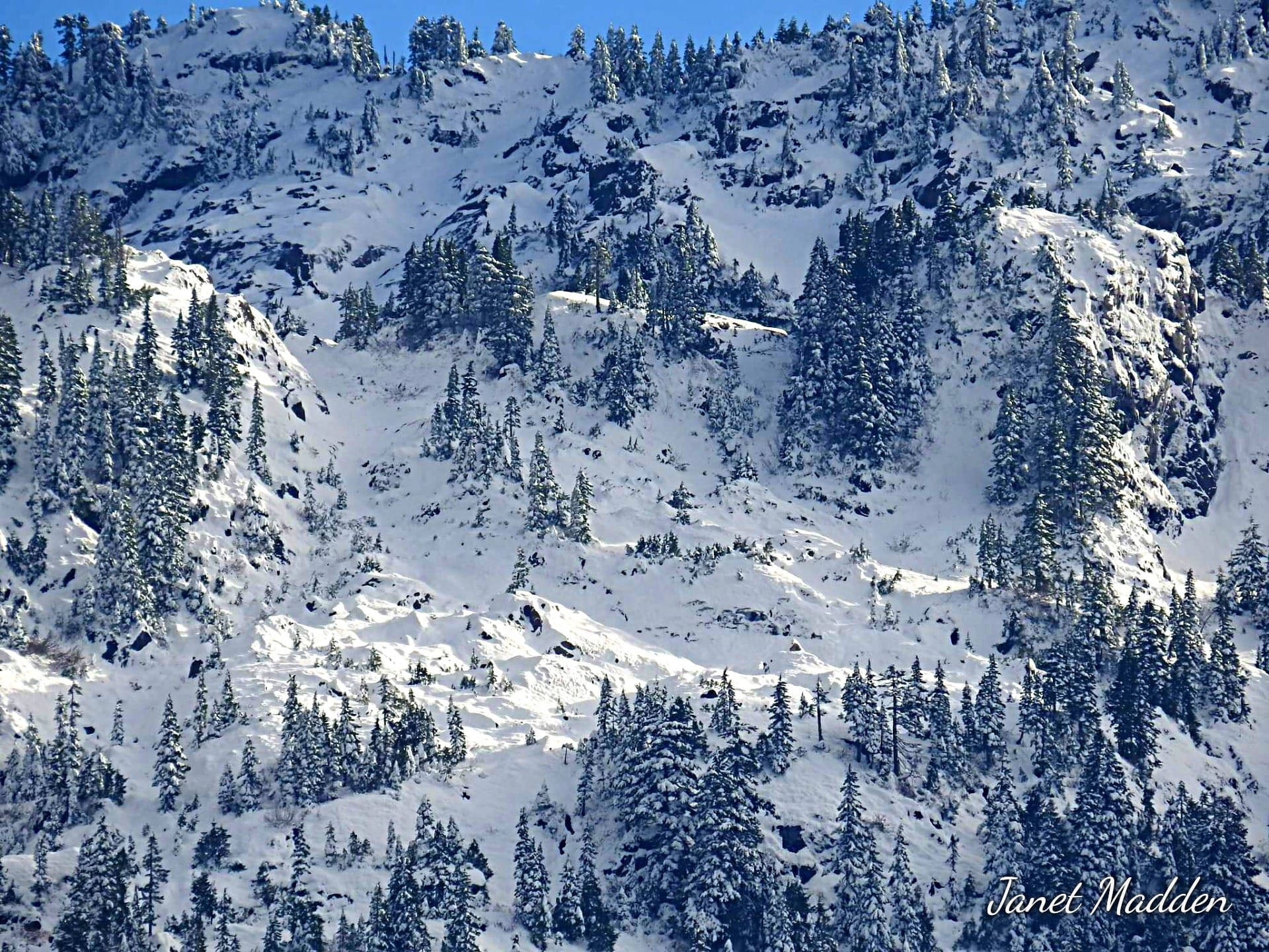
While the Harbor’s snowfall will likely be limited, if present at all, Michalski said both the Olympic and Cascade mountains should receive heavy snowfall.
The state Department of Transportation is urging drivers to delay non-essential travel if possible and exercise caution when traveling.
— The Seattle Times contributed to this report
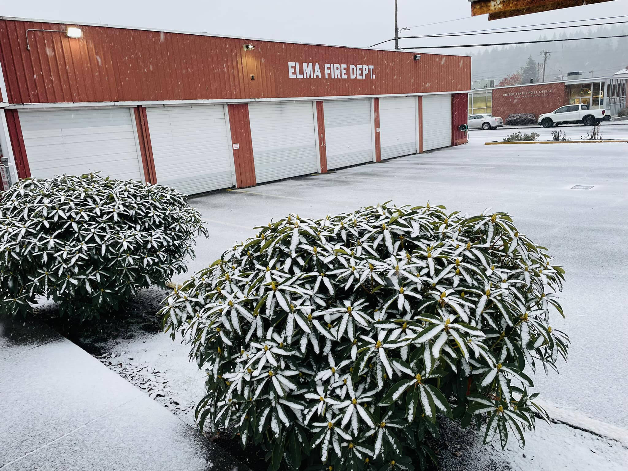
East Grays Harbor Fire and Rescue The East Grays Harbor Fire and Rescue received some snow on Monday and Tuesday, but stated they are ready to assist those in need. They also suggested drivers give themselves plenty of time on the roadway.
