
By David Haerle
The Daily World
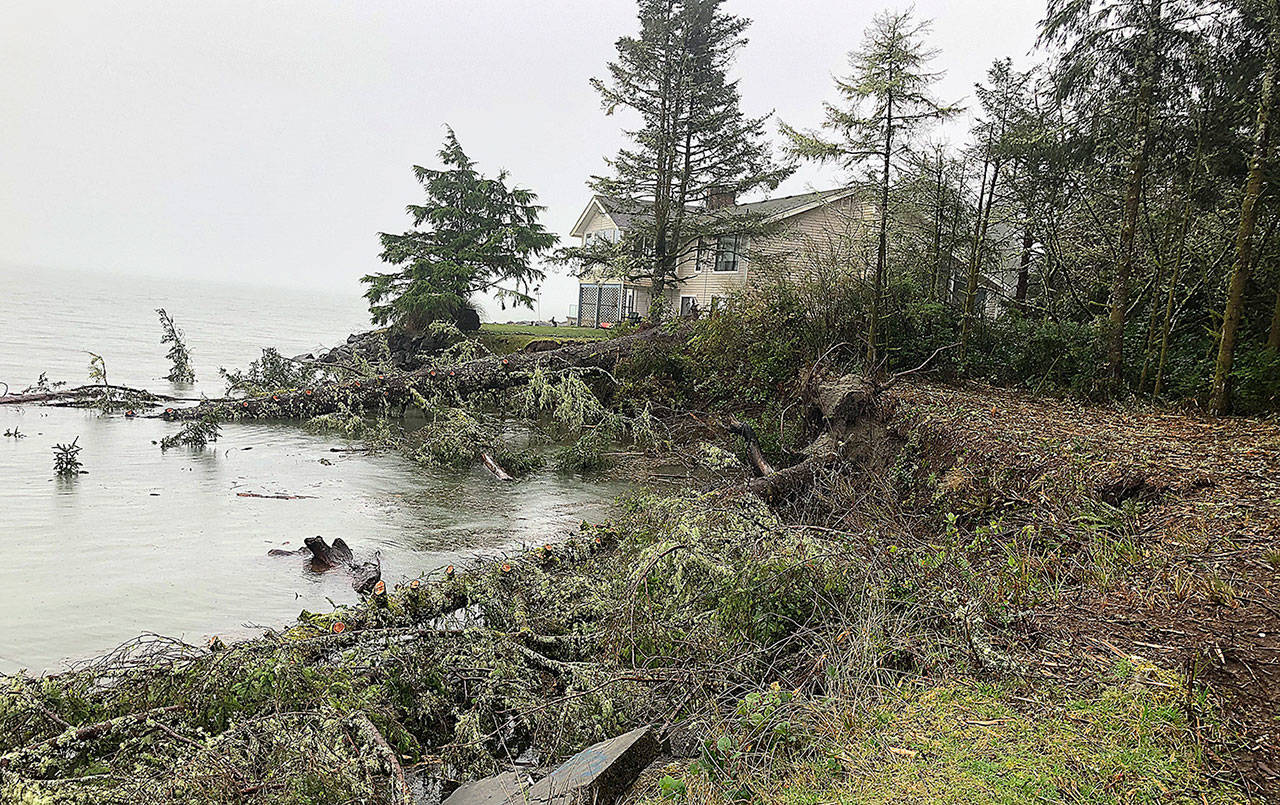
While another round of rain will move through the Twin Harbors this weekend, the National Weather Service if forecasting a bit dryer trends than some of the drenching weather that has hit the region in the first two weeks of 2021.
While that “drenching” was mainly confined to five specific days, the overall rainfall numbers have added up fast.
“We’re off to a wetter-than-normal start, but that’s sort of stating the obvious,” said Steve Reedy, a NWS meteorologist in Seattle. “And January is only two weeks old for us.”
Measured at the official NWS site at Bowerman Basin in Hoquiam, five days in January each accounted for more than 1.5 inches of rain with a total of 10.22 inches of rain on those days alone, according to the National Weather Service.
It all started on January 2, when a whopping 2.72 inches of rain were measured. That shattered a record for rainfall recorded on that day dating back to 1954, when 1.84 inches fell.
The other major rainfall days were:
* Jan. 4 with 1.77 inches.
* Jan. 5 with 1.52 inches.
* Jan 11 with 2.32 inches (breaking the record for that day dating back to 2010, when 2.0 inches were measured).
* Jan 12 with 1.89 inches.
Add in the other nine days of the month so far and the total is already 12.45 inches. To put that in perspective, total average rainfall for the month of January over the years — according to the NWS — is 10.33 inches.
But the NWS is forecasting less precipitation in the days to come.
A couple of very minor weather systems will move through but additional significant impacts are not likely, according to a recent forecasting statement.
Reedy said a minor system will move through this weekend.
“There’s another system Saturday night and Sunday, but it’s a real quick mover and won’t bring too much rain,” noting that the weather should be “relatively benign into the middle of next week” with no indication of any significant weather systems.
