Ocean Shores hosts summit on coastal issues
Published 7:00 pm Wednesday, October 31, 2018


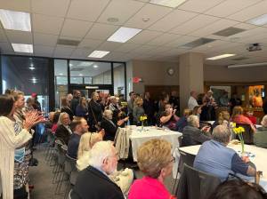
Ocean Shores hosted the ninth annual Coastal Marine Resources Committee Summit this past week, bringing together about 70 representatives of coastal interests and communities to share concerns, policies and ideas for issues such as shoreline erosion, climate change and threats to marine habitat.
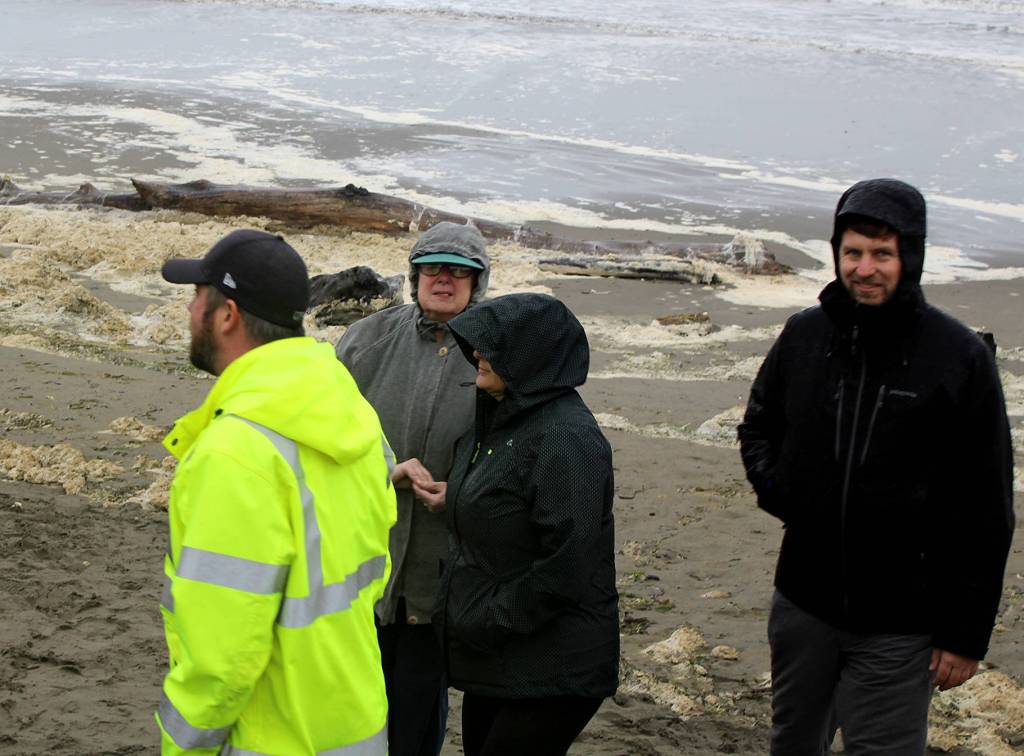
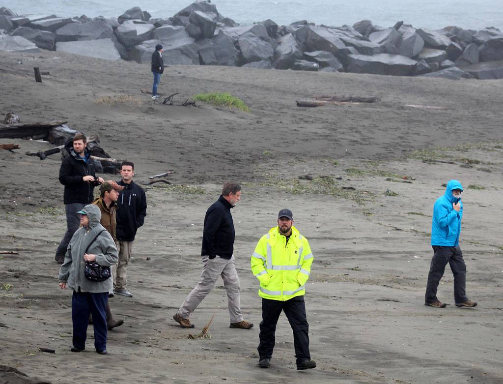
The committee was created by the Legislature as a forum for citizens and local governments. Subjects at past summits have included ocean acidification, marine spatial planning, oil spill response and preparedness, sea level risie and coastal flooding. The three-day session in Ocean Shores included tours of local areas affected by coastal erosion, such as the Marina and North Jetty, and it included a presentation on the efforts to relocate the entire lower village of Taholah for tsunami and coastal flooding safety.
Mayor Crystal Dingler and Ocean Shores Public Works Director Nick Bird were among the local participants. Past events have been held in Pacific Beach, La Push, Long Beach and Cathlamet in Wahkiakum County.
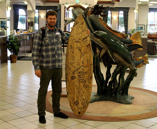
One of the more visual highlights of the summit was the appearance of a surfboard that was covered in signatures from people opposed to Trump Administration policies that could potentially open the coast to offshore oil and gas exploration and production.
There were a number of panel speakers during the event, including George Kaminsky, the Washington Department of Ecology coastal engineer who has specifically studied the Ocean Shores jetty and other erosion-plagued coastal areas such as the North Cove south of Grayland and the mouth of the Columbia River.
Jetty history
Kaminsky discussed how the jetties were formed in the early part of the 1900s and how they affected the shoreline over time. “Ultimately, it’s the jetty that is the anchor to the shoreline,” he said of the Ocean Shores jetty.
Once the jetties were built, whether at the mouth of the Columbia or an the entrance to Grays Harbor, they created ebb shoals on the outside of the jetties, where “sand tends to migrate onshore to accreate the beaches, and then what’s directly off the jetties is pushed onshore.”
Dating back from the tsunami of 1700 to 1870, there was very little change along the coast as far as its geologic appearance. But then the jetties were built and the adjacent shorelines begin showing changes.
Kaminsky noted there have been erosion problems on both the north and south sides of the Grays Harbor jetties, with now over 10 million cubic yards of sediment used along the Grays Harbor shorelines over the past few decades to address the issue. “This is very active management of an erosion problem,” he said. “And the reason it’s not worse is the (U.S. Army) Corps of Engineers is doing a pretty good job of managing the resources that they have in ways to slow down the erosion.”
In Ocean Shores most recently, the Corps has told the city it will begin needed maintenance of the North Jetty, and over the past five years, the Corps has contracted to place sand at the South Jetty, most notably where there was a breach.
The Corps current work plan includes an additional $4.5 million for operations and maintenance work in Grays Harbor, including the repair of the Point Chehalis revetment in Westport.
Shoreline erosion
In Willapa Bay in the North Cove area, there is a long-term trend of channel migration that continues to create shoreline erosion. “We don’t see it quite as much now, because things have started to stabilize a little bit,” Kaminsky said, noting many properties were lost over the past decade at what became known as Washaway Beach.
“One of the things that is happening now is the use of dynamic revetments, using cobble-sized material that moves under wave action. It helped to make a stable beach,” he noted. Kalaloch beach on the upper Olympic Peninsula was cited as a natural example. The cobble material is taken from the local bluffs, creating a “stable back-beach.” The idea is to “model what exists in nature” to help stabilize the shoreline.
“This year, as I speak, there are efforts underway to make a more contiguous structure along the North Cove shoreline,” Kaminsky said.
Also to bolster areas of erosion, Kaminsky said he and others recommend sand-stabilizing measures to add sand to beaches or the use of sand fences to get “sand where its most needed.”
Another speaker at the summit, Peter Ruggiero of Oregon State University, talked about the impact climate has on erosion as well. “We do know that we have sea level variability and lots of predictions about where sea level might be going. We know that erosion issues are punctuated by El Niños,” said Ruggiero, who is leading the Grays Harbor County Coastal Futures project. The project aims to combine current predictions of potential climate change impacts, along with models of flooding, erosion, growth and development “to better understand the possibilities and consequences of alternative management strategies.”
Ruggerio noted the project is able to model the highest water levels that are achieved in Grays Harbor and determine on an average basis whether it is due to elevated tides, or other factors such as weather.
The goal is to establish an assessment of “what the future of our water-level forces and wave forces might be.”
In the most recent update of the Grays Harbor Hazard Mitigation Plan, shoreline erosion was identified as an issue for the first time. At Oyhut Bay, for example, there has been a documented of retreat of the shoreline “that we haven’t been paying been paying attention to because we have really been focused on the outer coast.”
Caused by wave action, the shoreline has retreated year by year for the past 10 years where a tidal flat with a spit has now formed into a bay.
Kaminsky points to the methods employed at Willapa Bay and North Cove as an example of what might work elsewhere in the battle against shoreline erosion: “If this technique can be effective there, then it’s fairly promising anywhere else. This is a real test for that technique because of the long-term sustained erosion and the rates that it occurs there.”
Local dilemma
Looking specifically at Ocean Shores, Kaminsky explained there had been little noticeable shoreline change from the 1950s until the recent erosion to some of the ocean-view properties at the south end of Ocean Shores Boulevard. Now, the erosion is not “limited to just the jetty, but extends up the dune line,” Kaminsky said, listing local efforts to shore up the shoreline:
“There were wave bumpers, a two-tiered rock structure, that went in first, and then the geotube bags to the north of that. Those started to fail, and then geobags were put in to repair part of the geotubes just a few years ago. Sand was put in front of that to give it a larger buffer, but that didn’t hold up very long.”
Eventually rock was put in to create what he said was a more “dynamic revetment,” but there already are traces of erosion at the end of where the heavier rocks were placed. Also, while sand fencing was tried initially, it was not practical because not enough sand accumulated during the summer when they were first tried. “At the right place, at the right time, this can work well,” he said.
Ocean Shores’ main erosion solution has one main barrier, and it is as much part of the problem.
“Really the bottom line here for Ocean Shores right near the jetty is that until the jetty is reconstructed, we’re going to be dealing with this erosion problem. Fundamentally, the shoreline is controlled by jetty conditions,” Kaminsky concluded.
Ruggiero noted other factors, such as population growth, play a large factor in how communities in Grays Harbor respond to coastal issues such as erosion or climate change.
“What are the trends for Grays Harbor County going forward? How are we going to develop the land?” Ruggiero noted that Ocean Shores has seen as many as 100 new homes being built every year recently.
“That’s why the Coastal Future Project is really looking at the climate drivers on coastal community resilience, as well as the things that humans can do,” Ruggiero said.