Heavy rain and severe winds expected to wreak havoc on the Twin Harbors
Published 4:30 pm Wednesday, October 12, 2016


Meteorologists differ a little as to the size of the storm expected to hit the coast Thursday, but they agree it’s going to be a big one, maybe historic.
A series of strong Pacific storm systems was expected to start hitting the coast Wednesday evening and continue through the weekend.
Up to five inches of rain is possible along the coast and winds that could rival the Columbus Day storm of 62’.
“A true monster storm, potentially as strong as the most powerful storm in Northwest history will be approaching our area on Saturday,” University of Washington Professor of Atmospheric Sciences Cliff Mass, said. “The storm is not only nearly as intense as the 1962 Columbus Day storm but shares a common origin: both started as typhoons over the western Pacific.”
Danny Mercer, a meteorologist with the Seattle branch of the National Weather Service, said the first system is expected to bring up to three inches of rain in the region Wednesday evening, and a high wind watch with gusts between 40-60 mph in North Coastal areas and lowlands late in the day Thursday.
A secondary system, which Mercer said could bring much stronger winds, is expected to roll in Saturday. But he said it’s too early to tell what the weekend will bring.
“There are an array of models we look at and a couple of them show very extreme systems,” Mercer said. “We have a couple more days to let them play out before classifying them as big as the Columbus Day storm … as hurricane potential.”
On Wednesday afternoon the National Weather Service issued a high wind warning in effect from 2 p.m. until midnight Thursday for the South Washington Coast. Peak wind speeds are predicted between 4-8 p.m., and could be strong enough to cause severe property damage and sporadic power outages.
Deputy Director of Grays Harbor County Emergency Management Chuck Wallace advised area residents in a news release to take the utmost precaution to weather the storm.
“People need to be alert for downed trees, tree limbs and power lines,” he said. “Outages could occur at any time. Do not attempt to move power lines or trim tree limbs tangled with power lines.”
Wallace also says motorists traveling in the region this weekend should be on heightened alert as well.
“Drivers need to be extremely alert during periods of heavy rain,” he said. “Rain may pool along edges of roadways and also reduce visibility significantly, creating hazardous driving conditions. “
For those who lose power at their homes or work, Wallace warns all to not use portable generators indoors, near doors or windows, as the potential for carbon monoxide poising becomes an issue.
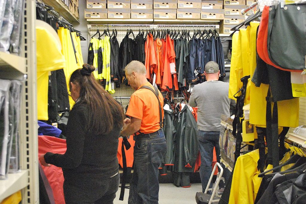
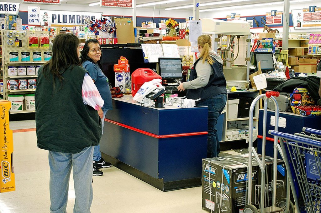
Outage preparedness kits, Wallace said, should be at the ready in the event of an extended power outage. These kits should include a flashlight and batteries, battery operated radio, candles, matches, non-perishable food water and a manual can opener.
Look for up to date information on the coming storm in The Daily World newspaper, website and Facebook page. Tune into local radio and news coverage or visit the Grays Harbor County PUD website at GHPUD.ORG as well.