Harbor getting a glimpse of sunshine
Published 8:30 am Thursday, March 16, 2023
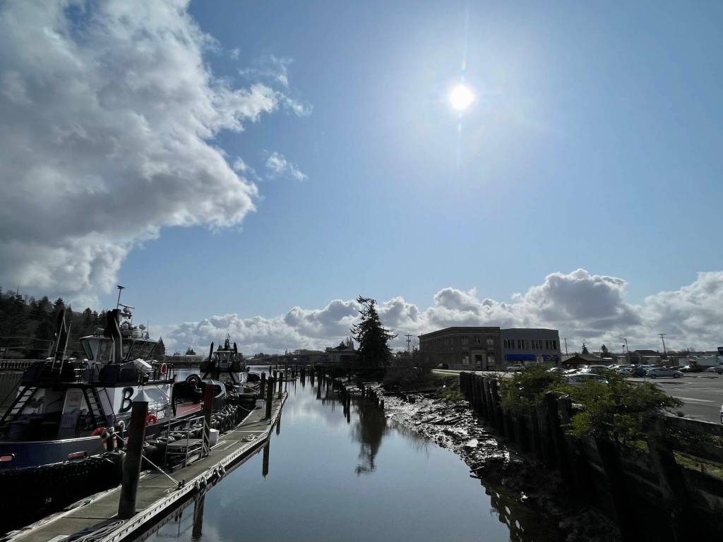
Grays Harbor is in the middle of a nearly one week’s worth of sunshine, with clouds parting long enough to provide an inkling — but not a promise — of warmer weather to come, as climate predictions still say spring will be cool and damp.
Along with mostly sunny skies, temperatures in the mid-to-high 50s are forecast to stick around until Saturday, which currently has a high of 58 degrees and a 20% chance of rain, according to forecasts from the National Weather Service station in Hoquiam.
Saturday is projected to be the warmest day of the week, but Thursday and Friday have high temperatures of 55 and 56 degrees, respectively. Clear skies will keep temperatures cool at night, with lows hovering in the mid-30s.
The influx of warm air is being driven primarily by an upper-level pressure pattern, said Kirby Cook, a forecaster with the NWS in Seattle.
“That will continue to build — right over the Pacific Northwest, up into British Columbia, Alberta, and almost to the Yukon — into the weekend,” Cook said.
Along with a spurt of sunshine, the warm air is accompanied by an offshore wind pattern, blowing air from the interior part of the state over the coastal region. Depending on what’s happening east of the Cascades, Cook said, an easterly wind can either cool down or warm up the western part of the state, with the latter being the case here.
This week’s warmer days are slightly above average for this time of year. The average temperature in Hoquiam for March 16 is 52 degrees, according to NWS data.
The highest temperature on record for March in Hoquiam is 77 degrees, which was set in 1994.
The first day of spring, according to the equatorial tilt toward the sun, is March 20.
Cook also said that while warmer weather likely has something to do with seasonal fluctuations in climate, its not an indication a sunny spring is around the corner.
According to estimates from the service’s climate prediction center, temperatures in much of Washington will remain 30-40% below normal for the months of March, April and May.
However, those low temperatures won’t necessarily be due to this year’s La Niña event, which produced high levels of precipitation and low temperatures across much of the Western U.S., including a period in February where temperatures dove below freezing on the Harbor. The climate prediction center has issued a Final La Niña Advisory, meaning the weather phenomenon has ended.
Contact reporter Clayton Franke at clayton.franke@thedailyworld.com.