Cold, sunny weather expected most of the week after snowy Sunday night
Published 7:00 pm Monday, February 4, 2019


Expect cold but clear conditions across Grays Harbor County over the next several days, with a possibility of more snow starting Friday, according to the National Weather Service in Seattle.
“Looks like mostly sunny Tuesday and Wednesday, probably looking at daytime highs in the upper 30s and lows in the mid-20s,” said Weather Service forecaster Dustin Guy. “A touch warmer on Wednesday with highs in the low 40s, with 20s overnight.”
A few clouds are expected to show up on Thursday, but “right now it looks to be mostly dry and a little warmer, in the low 40s,” said Guy.
The possibility of snow returns to the county Friday, but as Guy points out, forecasting snow along the coast in particular is never easy.
“The tricky part is when we get into Friday. There’s another system dropping down into the area with a potential for snowfall,” said Guy. “It’s a lot trickier along the coast, but it will likely be snow here (in Seattle) with another potential source for snowfall on the coast.”
The forecast for Pacific County is similar, with the Portland Weather Service office predicting clear and cold conditions over the next few days with a slight chance of rain and snow showers arriving after 10 p.m. Wednesday. A chance of rain lingers through Thursday and Friday night, with snow showers possible Saturday and Sunday.
Sunday night snow
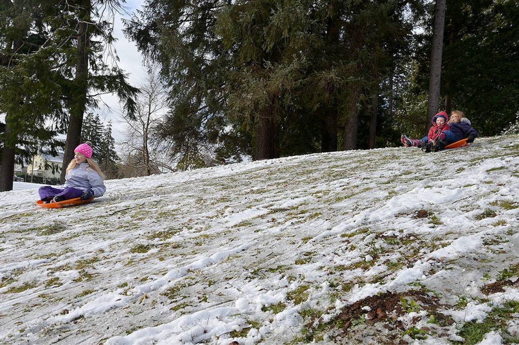
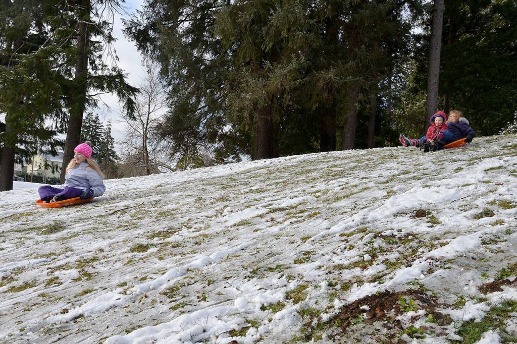
As predicted, snow accumulations in the county varied widely from place to place in the snowfall that started Sunday evening.
“Along the immediate coast you’re looking at about an inch around Aberdeen, while Montesano got upward of two to three,” said Guy. “A little bit more the farther east you go.”
Some places in Ocean Shores and Westport reported accumulations greater than 3 inches, while areas nearby reported much less.
Guy said the difference fell to “lucky timing and being in the right spot at the right time.”