
The City of Aberdeen is warning of an elevated risk of flooding on Friday due to the expected combination of a very high tide and heavy rainfall.
The National Weather Service is forecasting a high tide of 12.1 feet at 12:21 p.m., half a foot higher than the 11.6 feet predicted by the National Oceanic and Atmospheric Administration. The weather service expects the tide to be higher because of strong winds and low pressure.
“The combination of a very high tide and heavy rainfall can result in internal flooding in the lowlands, especially within two to three hours before and after the high tide,” said a notice from the Public Works Department.
Heavy rainfall is forecasted to begin early Friday morning and continue through the day.
Here’s a list from the city suggesting ways in which to prepare:
- Stay tuned to news and weather alerts, and be prepared for changing conditions. Check the National Weather Service’s website at www.weather.gov/sew.
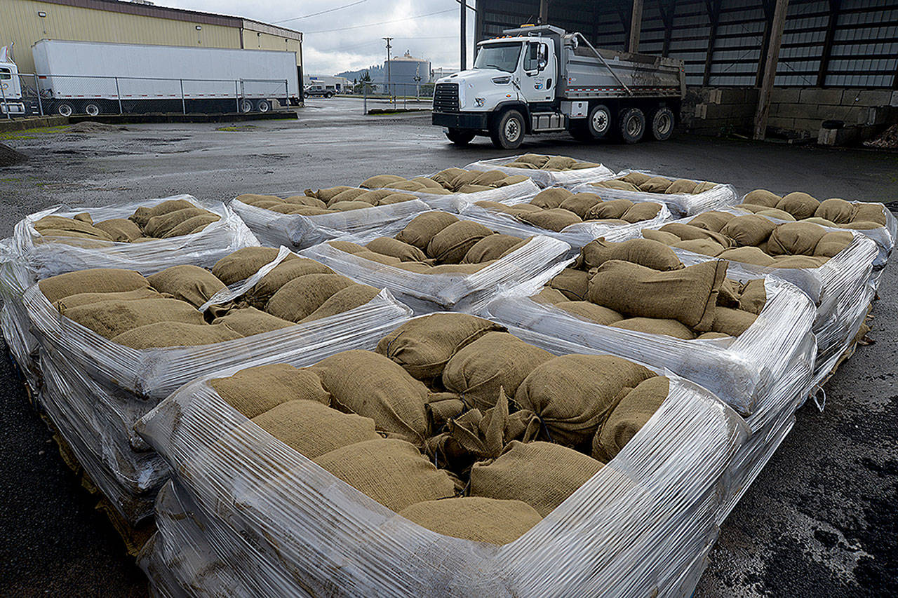
- Obtain free sandbags from the City and place them around doors and building openings. To pick up sand bags, go to the City’s shop at 1201 West Heron Street and check in with the receptionist.
- Move valuables or lift them up out of areas that flood.
- Stay out of floodwaters and flooded areas if possible.
- Keep drains clear by using a rake or other hand tool to clear debris. This will help floodwaters to drain out of the area after the tide has ebbed. Do not use hands, feet, or other body parts to clear debris.
- The City strongly advises against driving through floodwater, but if you do, drive very slowly (5 mph maximum) as wakes from vehicles swamp adjacent homes and businesses causing needless damage.
