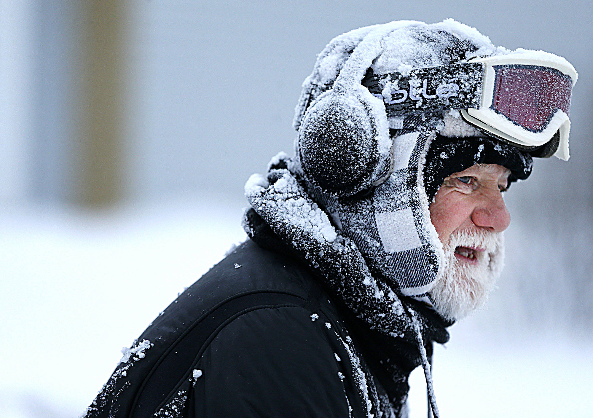
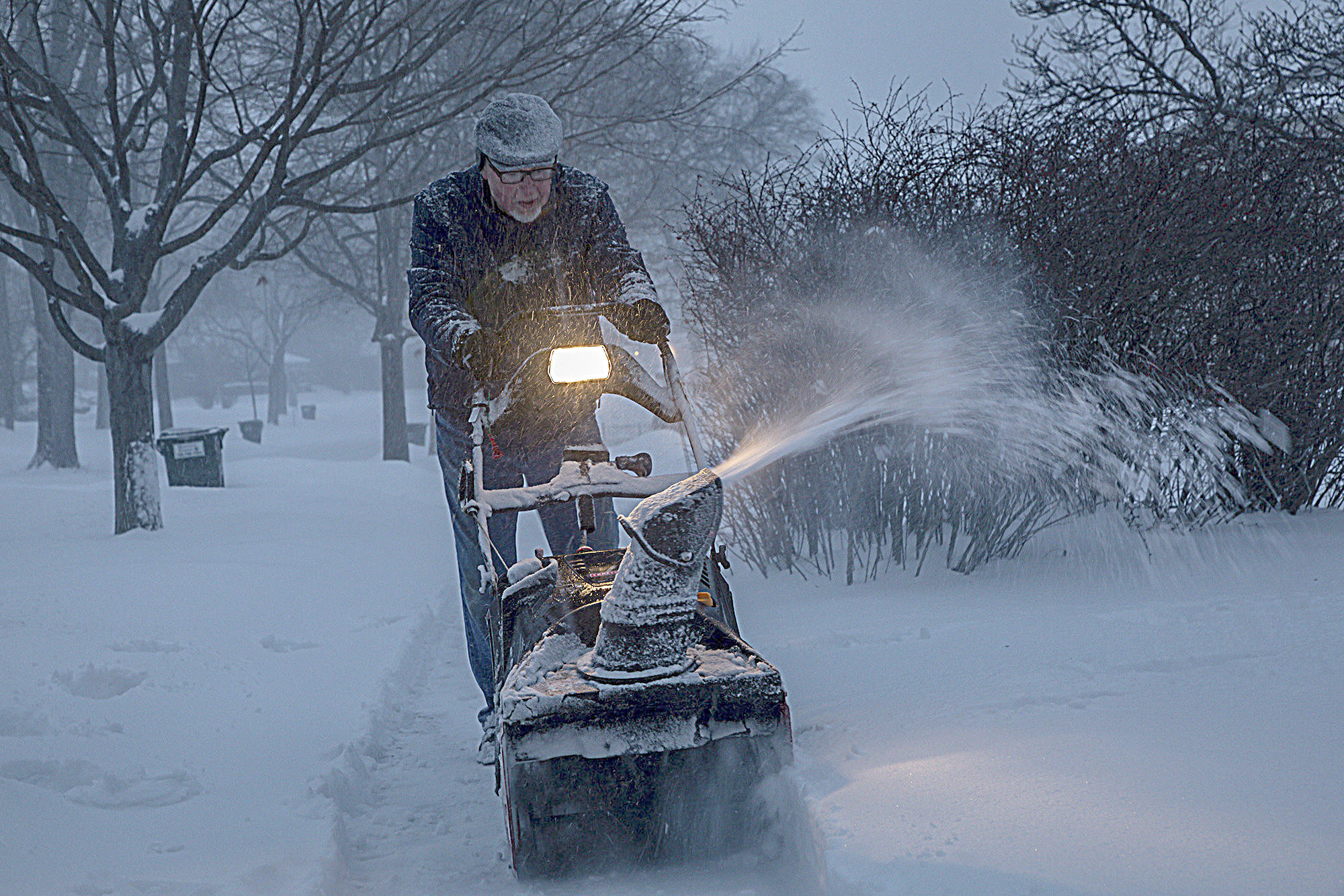
CHICAGO — One of the coldest air masses in years will envelop the Midwest and the Northeast this week bringing potentially life-threatening low temperatures to the Chicago area that will feel even harsher in tandem with strong winds.
In Chicago, the coldest temperatures of the year will arrive midweek. After seeing a high around 34 on Monday at O’Hare International Airport, temperatures will drop to near zero before the end of the day, according to the National Weather Service. By Tuesday night, temperatures are expected to take another plunge, to 23 below zero, flirting with Chicago’s coldest temperature ever: minus 27 on Jan. 20, 1985.
Temperatures are forecast to inch up to a daytime high of about minus 14 on Wednesday — the first subzero high temperature in five years and the coldest winter high ever recorded in Chicago — before dipping, again, to about minus 21 overnight. The coldest daytime high in Chicago was minus 11 on Christmas Eve 1983.
For younger Chicagoans, the burst of Arctic air set to overtake the city this week could be one of the coldest days of their lives. For Generation Z, this week’s predicted low temperatures have only two rivals: minus 16 on Jan. 6, 2014, and minus 19 on Feb. 3, 1996.
The lows Tuesday and Wednesday could break records set in 1966. They’ll also feel much worse with wind gusts up to 30 mph, which will make it feel as low as negative 50 degrees, according to the weather service.
But there could be as much as a 30-degree disparity from the north to the south end of the state, while lakefront communities could get a small reprieve, said Brian Kerschner, a spokesman for the Illinois State Climatologist Office. But that largely depends on how much ice cover there is on Lake Michigan.
The wintry onslaught will be driven by the Northern Hemisphere’s polar vortex, the pocket of cold air sitting atop the North Pole. When temperatures rise in the Arctic, the polar jet stream — the torrent of westerly winds that hold the polar vortex in place — can weaken and dip into parts of North America.
“Occasionally this ring of winds deforms or even splits, which allows the cold air to spill southward over mid latitudes — this is exactly what’s happening now,” said Jennifer Francis, a senior research scientist with Woods Hole Research Center in Massachusetts, in an email. “It just so happens that the lobe of cold air is located over central North America, with Chicago in the crosshairs.”
A destabilized polar vortex typically splits over Canada and Russia, and has the potential to move farther south. As the cold front bore down on northern Minnesota Sunday morning, the border city of International Falls set a record low of minus 44 degrees, shattering the previous record by 8 degrees.
“What this does is allow the coldest Arctic Canadian air to move over the Great Lakes region, bringing an active storm track, prolonged periods of well-below-average and subzero temperatures to Illinois and the Midwest,” said Kerschner.
This is the same weather phenomena that made the winters of 2013-2014 and 2014-2015 remarkably cold. And scientists say winters like these could become more common in the future due to climate change.
The Arctic is warming twice as fast compared with the rest of the planet, in part because there’s less ice cover, Francis said. Now, instead of ice reflecting sunlight away, the water is absorbing this heat.
A growing body of evidence suggests another warming trend in the Pacific Ocean is believed to be causing the jet stream that confines the polar vortex to warp further, with warm air penetrating near the Pacific Northwest and a lobe of cold air sinking into the Midwest and Northeast.
“The stronger ridge does two things: It pumps cold air into central North America, which deepens the downstream trough, and it also becomes more persistent because larger jet stream waves move more slowly than small ones,” Francis said. “This is partly why this jet stream pattern tends to be long-lived once it sets up.”
The winter of 2013-2014, which ranked as the third coldest on record, had 23 days with subzero lows. The average temperature was 18.8 degrees. It was this winter when the term polar vortex rose to prominence and local weather service meteorologist Ricky Castro coined the term “Chiberia.”
The coldest day was Jan. 6, 2014, when the low was minus 16 with a wind chill of negative 42. The high that day was minus 2.
State police helped hundreds of stranded motorists and advised drivers not to travel, noting that the cold had rendered road salt ineffective. Then-Gov. Pat Quinn declared the state a disaster area in order to mobilize members of the Illinois National Guard to help with storm response, calling several large military vehicles called “wreckers” — normally used on the battlefield to tow tanks — to help clear highways of overturned trucks.
The polar vortex struck again in the winter of 2014-2015. February 2015 tied for the coldest February on record and ranked as the 10th-coldest month, with eight days with temperatures below zero.
This week’s temperatures combined with the wind could lead to the onset of frostbite in less than 30 minutes, the National Weather Service said.