Days and days of rain were having a predictable effect, swelling streams and rivers in the Twin Harbors Friday, but a flood warning for the Satsop River was to end Friday evening. Rivers coming off of the Olympics were to continue to recede Friday, but it was going to be a slow process, according to the National Weather Service.
A weak storm was expected Saturday morning and a wetter one on Sunday, the Weather Service said. Windy conditions were possible on the coast, but the Weather Service said the degree of uncertainty was high. Continued rainfall meant the potential for landslides through the coming week, the Weather Service warned.
A landslide on State Route 109 at milepost 2 just outside of Hoquiam will most likely keep the road closed through the weekend, according the Hoquiam Police Chief Jeff Myers. An increased threat of landslides from recent heavy rain continues but will diminish over the next couple of days, the Weather Service said.
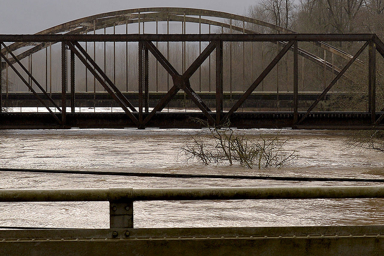
At 8:15 a.m. Friday, the Satsop was 38.7 feet. Flood stage is 38 feet. The river crested at 39.5 feet at 11 p.m. Thursday and was expected to fall below flood stage late Friday afternoon, the Weather Service said.
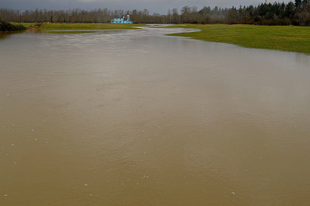
At 38 feet, the Satsop floods low pasture lands and some roads along the river. The river was observed to be high, fast moving and full of logs, branches and other debris, including a whole tree on Friday morning with the river spilling over into pastures near the bridges at Monte Elma Road and Highway12.
The Weather Service reported a record 2.56 inches of rain at Hoquiam Bowerman Airport on Wednesday followed by 1.39 inches on Thursday.
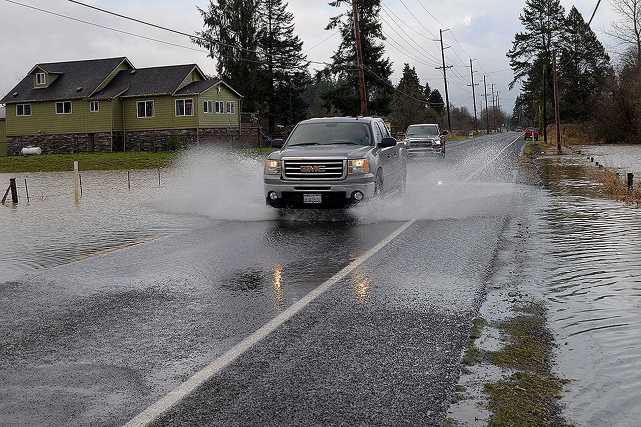
The Weather Service warned people not to drive cars, vans or trucks through flooded areas since this is the cause of most flood related deaths in Washington.